Early September in Höga Kusten: The High Coast’s Golden Season (Guide + Tips)
A host’s time‑travel note from early September in Sweden’s High Coast (Höga Kusten): golden light, Skuleberget hikes, trail running, and a chance of northern lights.
It’s February as I write this. The High Coast is still in its quiet, fully white season, and spring’s rebirth still feels far away.
But winter is exactly when I like to remember the most underrated window of the year: early September — the moment when summer softens, the forest changes tone, and everything becomes more intimate.
This post is a small time‑travel note from that season-between-seasons. And if you’ve ever felt that you don’t need more activities, but a deeper kind of reset, September is also when Skogspaus makes the most sense: a simple forest pause before the long darkness of late autumn.
Here, I remember for you.
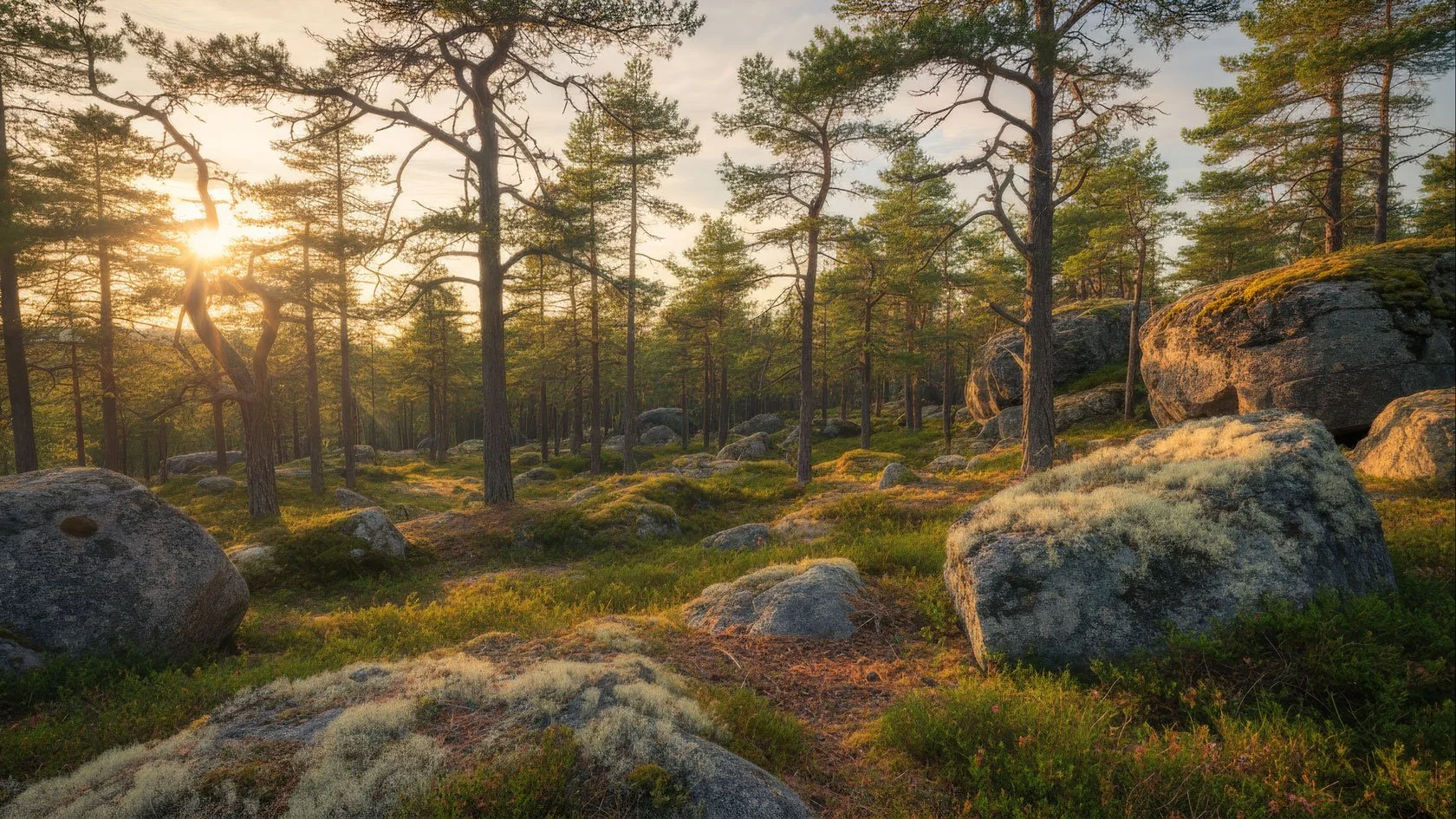
The Magic Hour That Lasts All Day
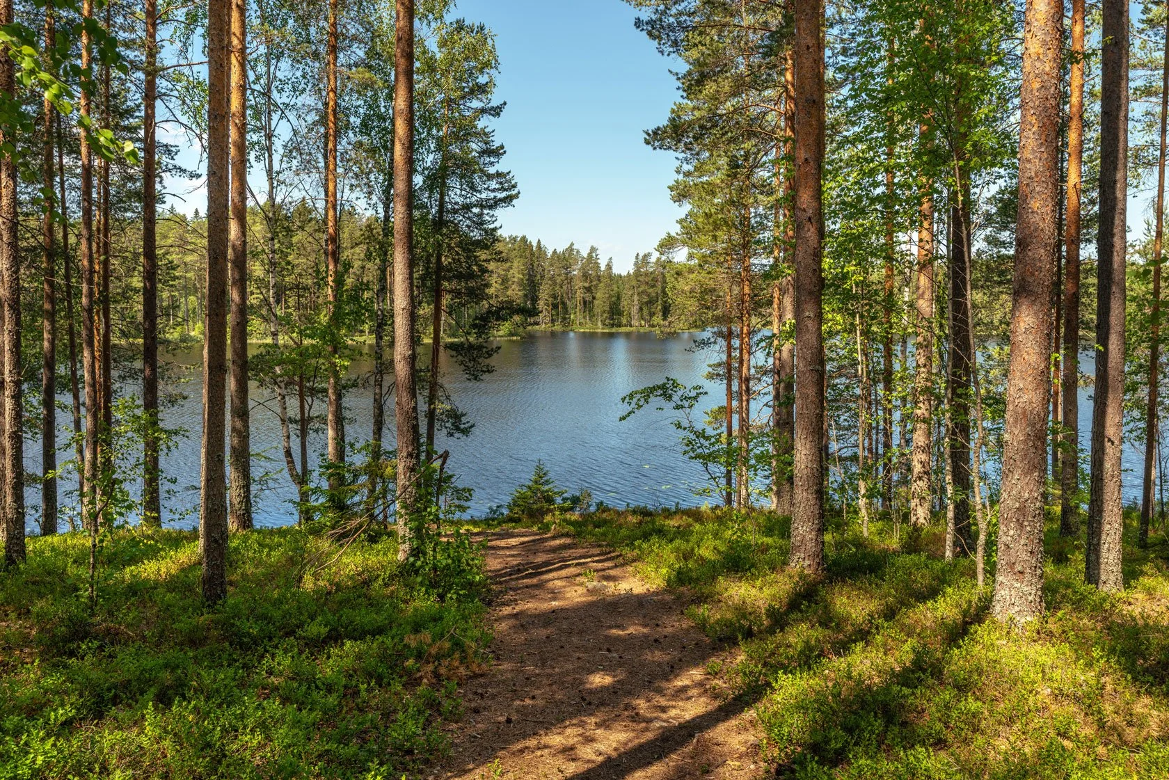
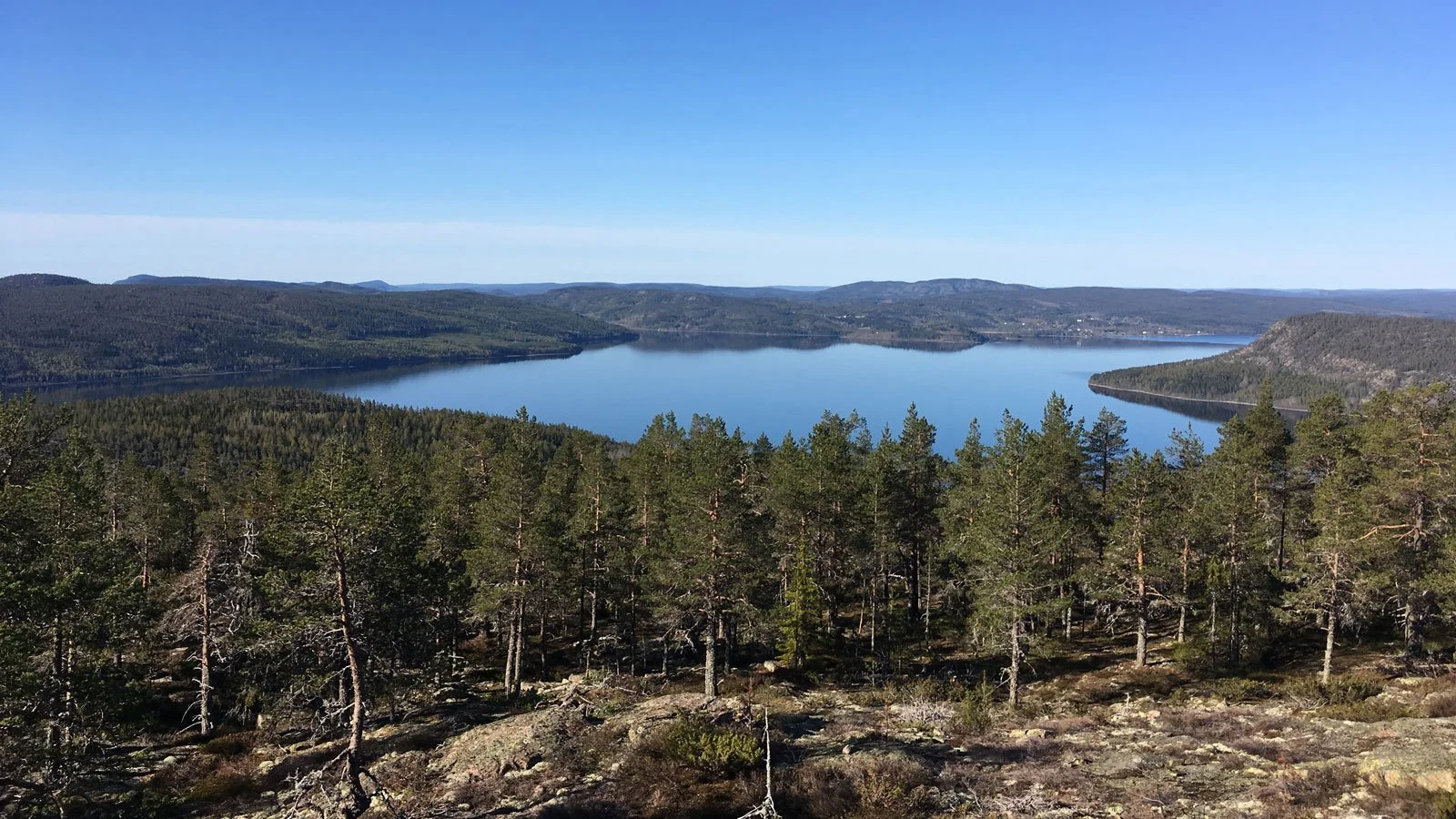
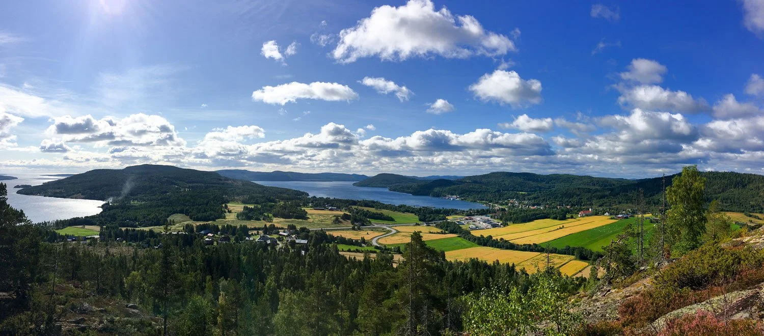
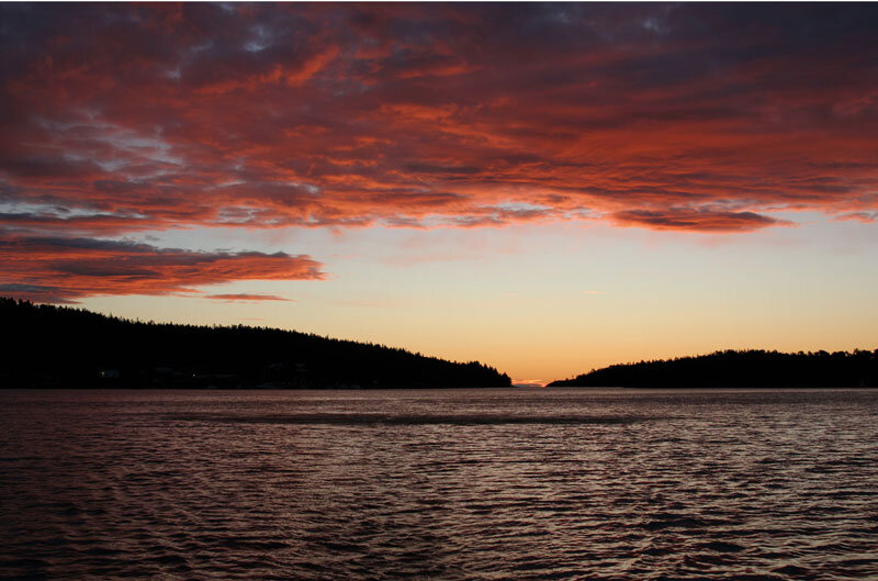
The light has begun its gentle retreat, painting Skuleberget in shades of amber and rust. Here on the High Coast in September, the forest whispers secrets that only those who truly listen can hear – stories of transformation, reflection, and the bittersweet beauty of seasons turning.
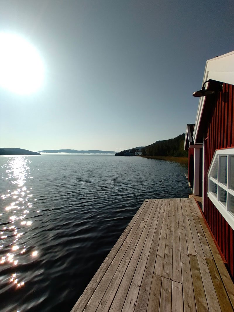
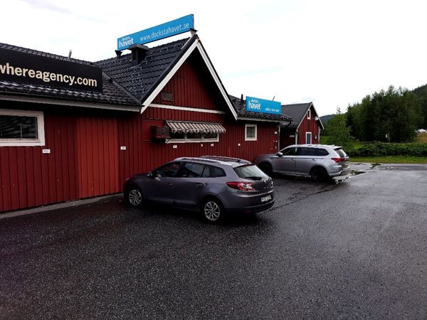
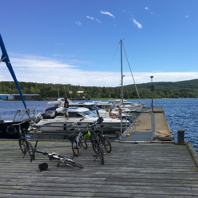
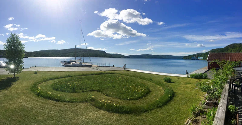
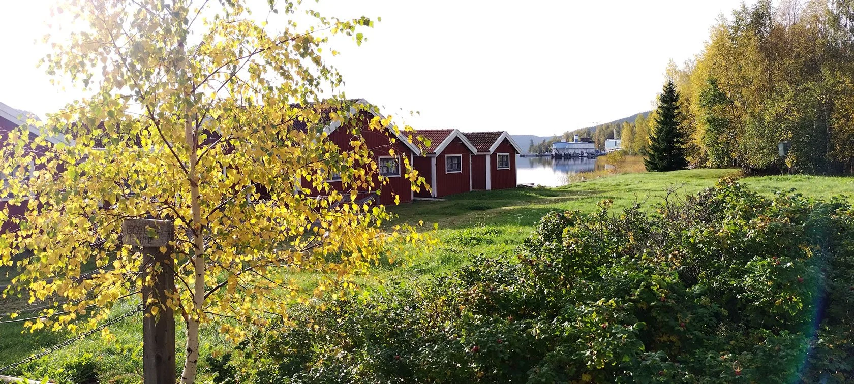
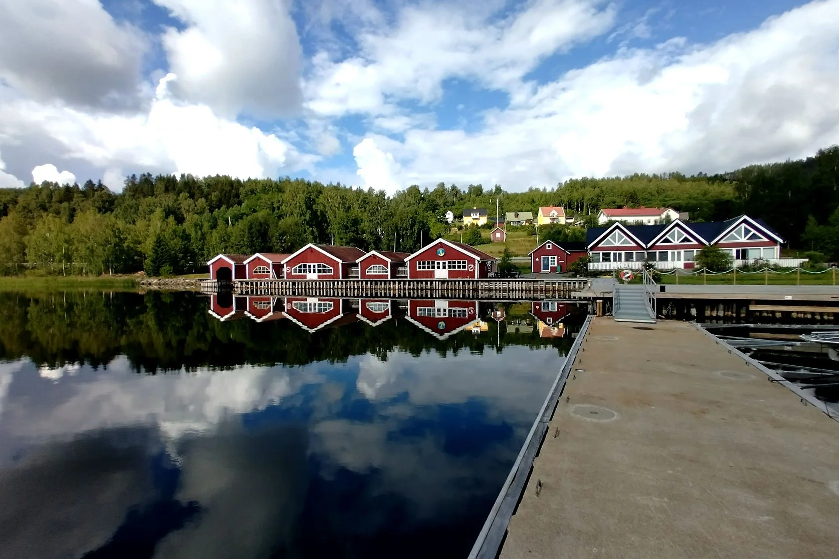
Standing on our marina dock, warm espresso aroma mixing with the crisp September air, I watched the sun cast its golden net across the Docksta fjord. There's something profoundly different about Nordic autumn light – it doesn't just illuminate; it transforms. The harsh brightness of summer has mellowed into something warmer, more intimate, like nature's own Instagram filter applied to the entire landscape.
This is the light photographers dream about, the kind that makes even the most amateur smartphone shots look like magazine covers. But more than that, it's the light that changes how we feel about a place.
September in the High Coast isn't just about what you see – it's about what stirs in your soul when the world begins its slow dance toward winter.
Skuleberget’s Autumn Symphony
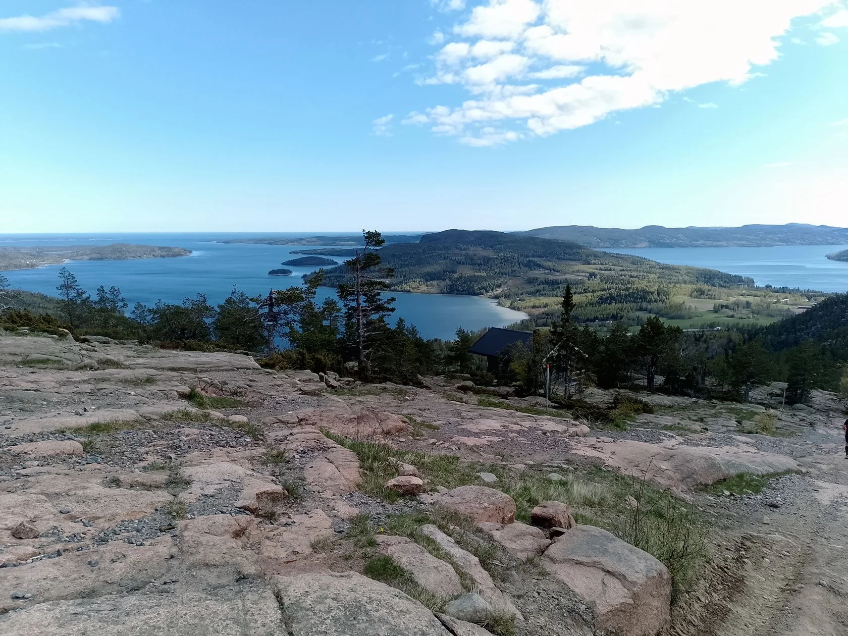
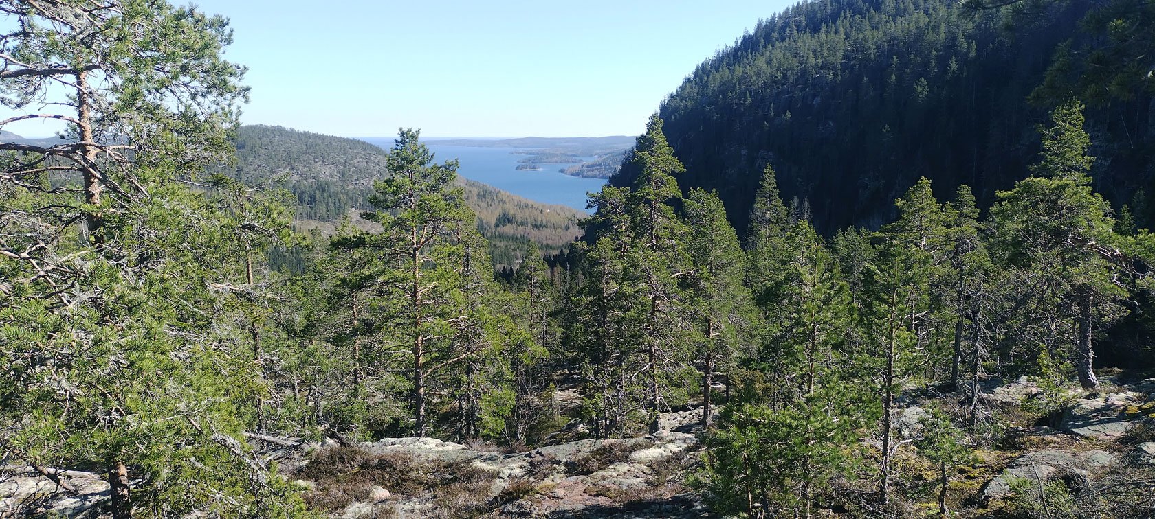
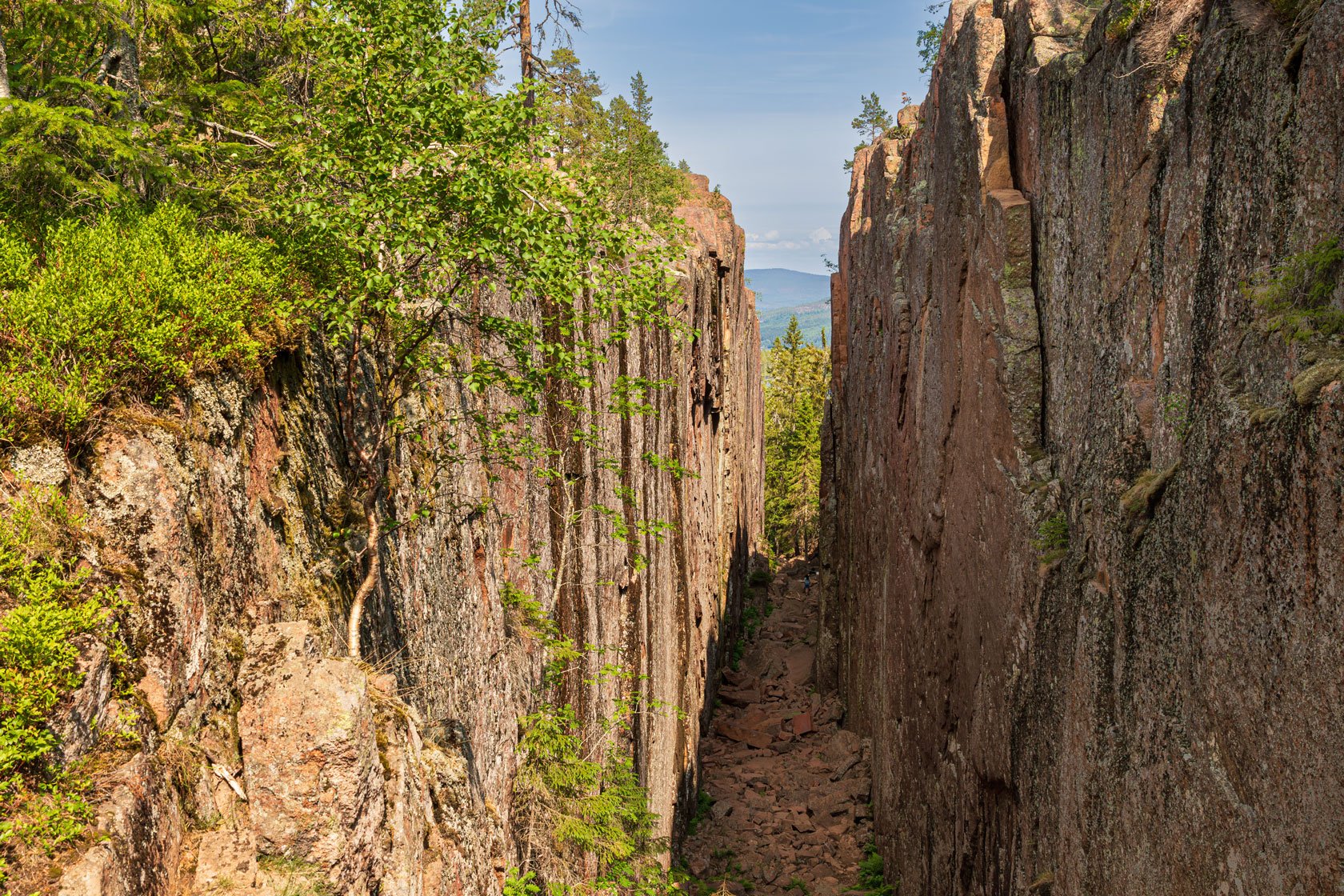
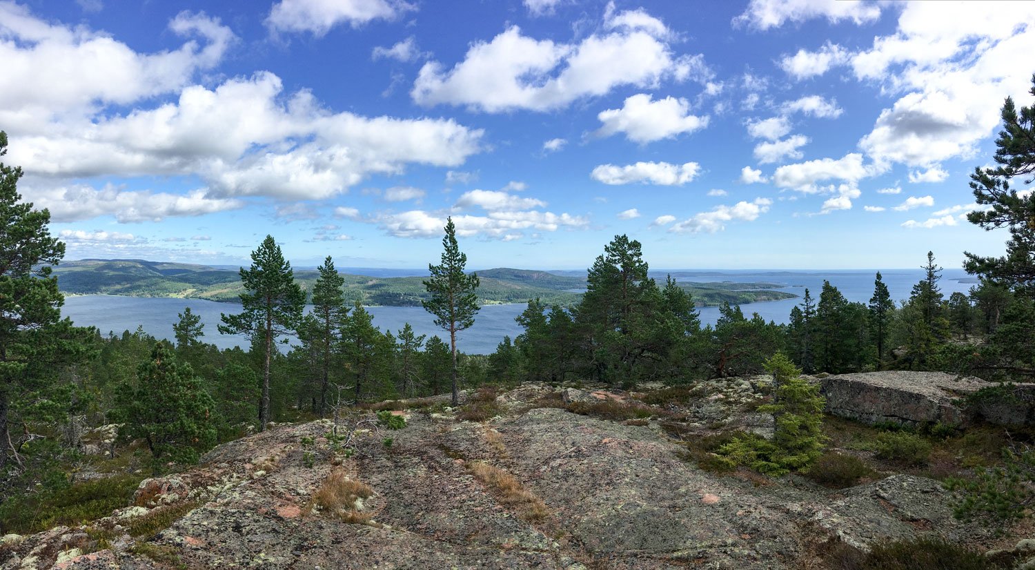
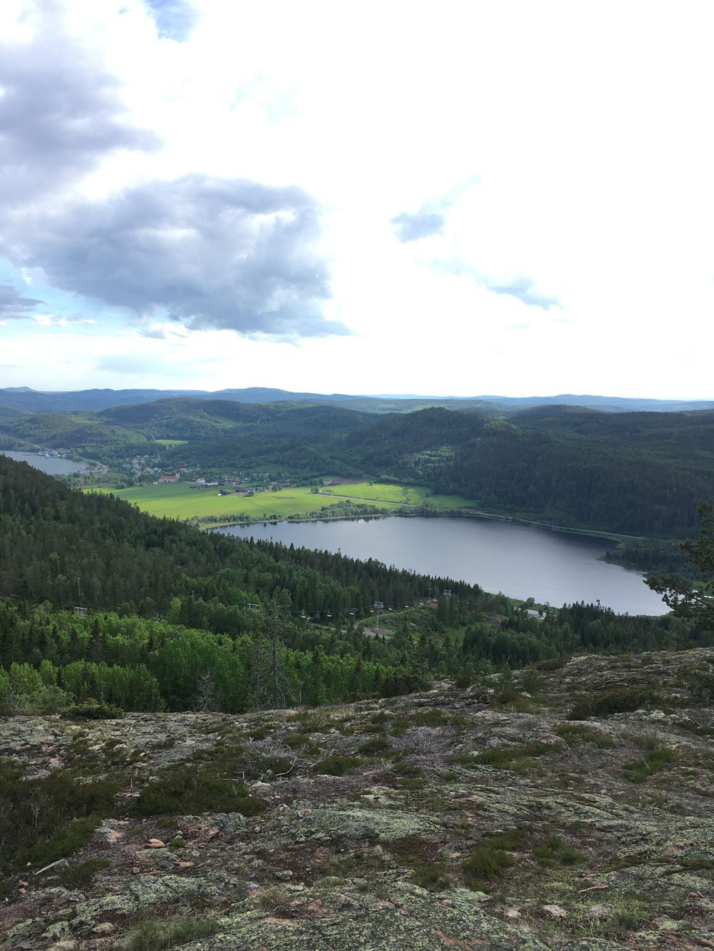
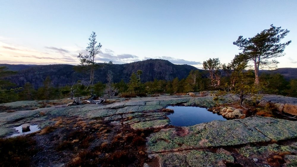
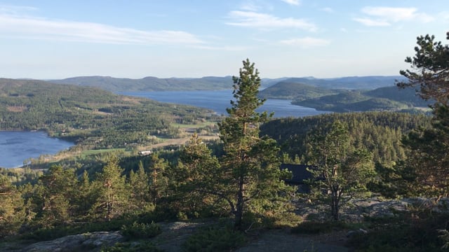
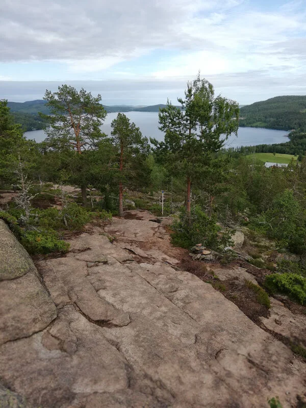
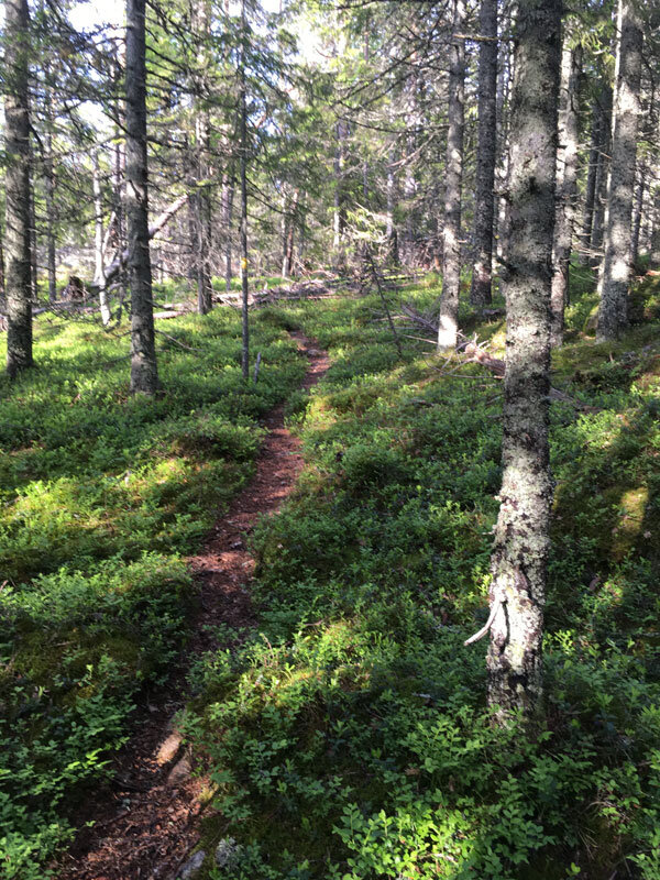
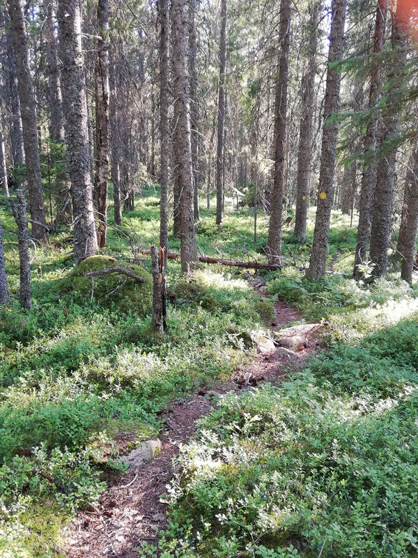
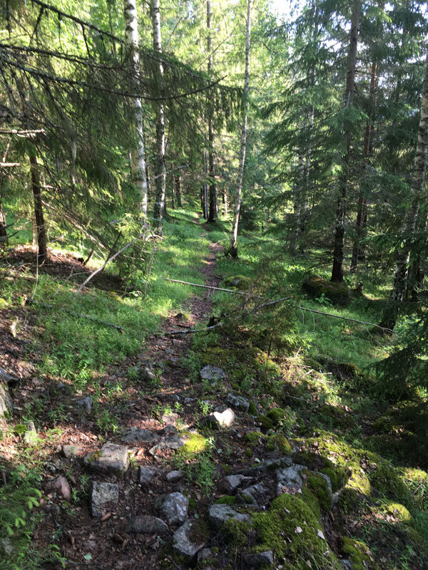
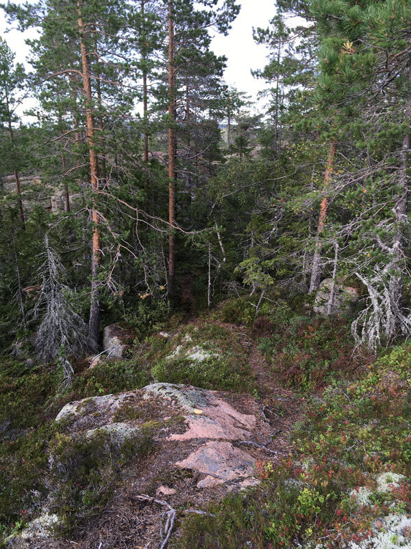
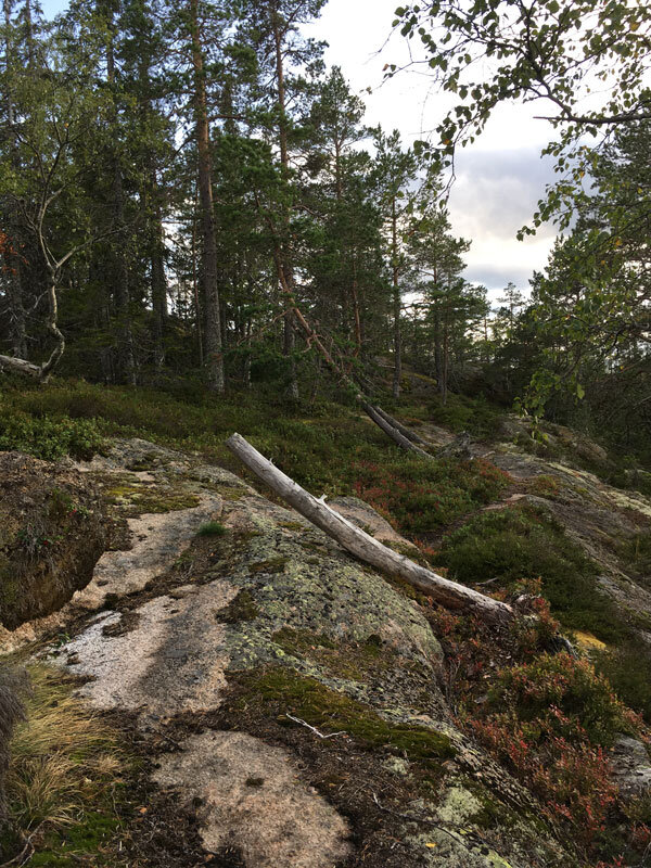
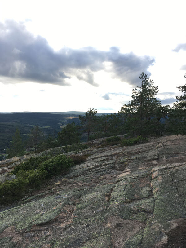
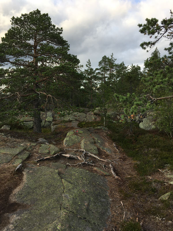
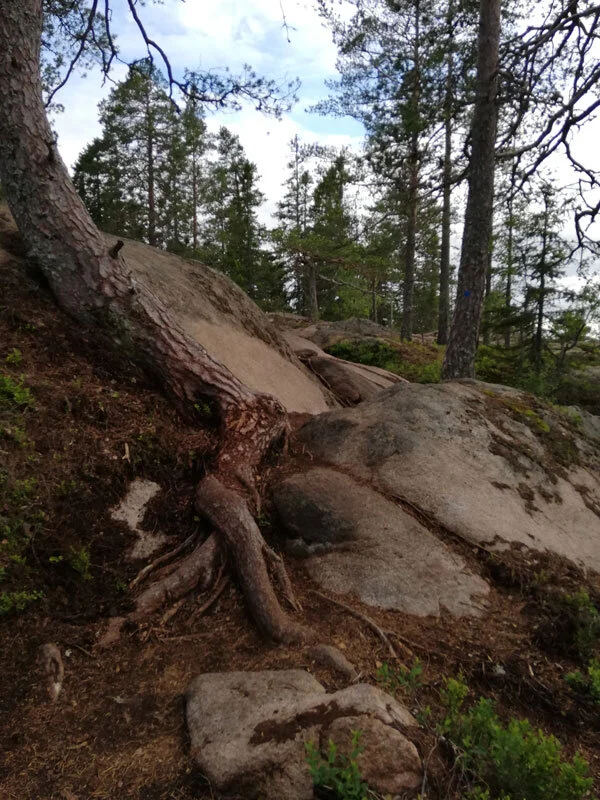
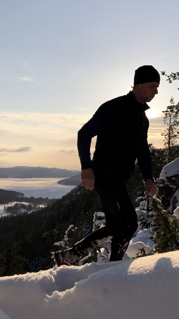
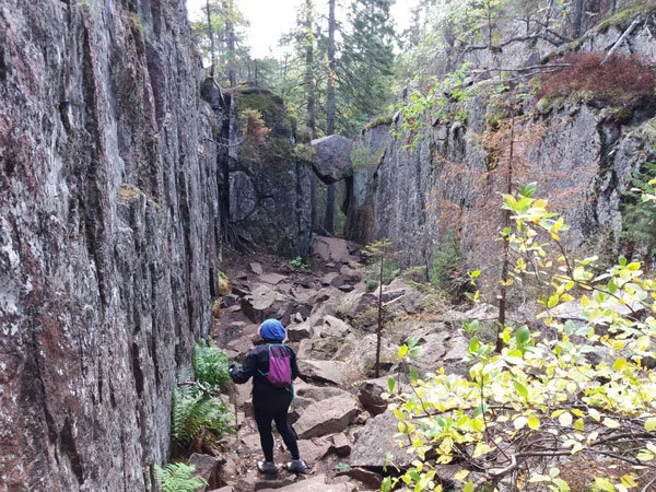
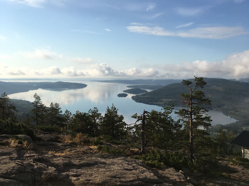
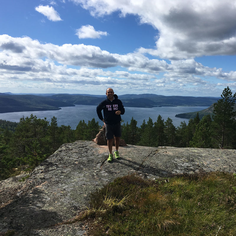
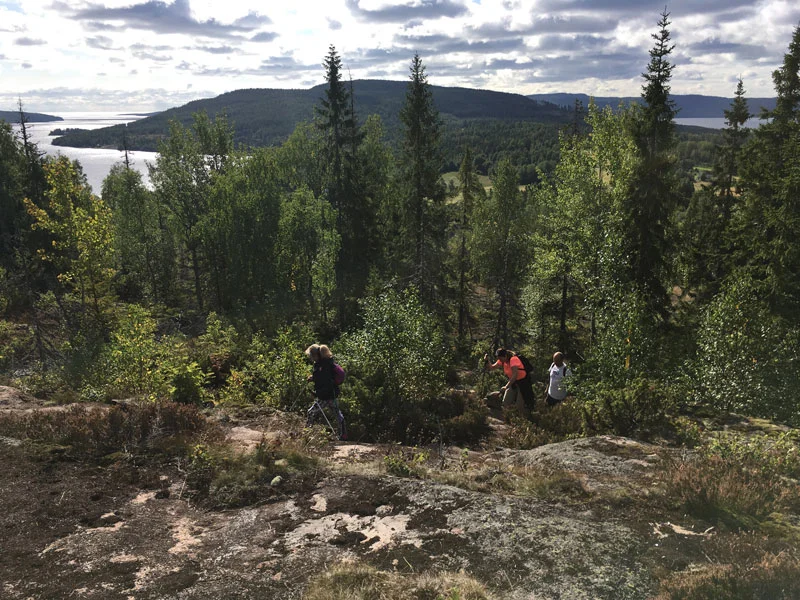
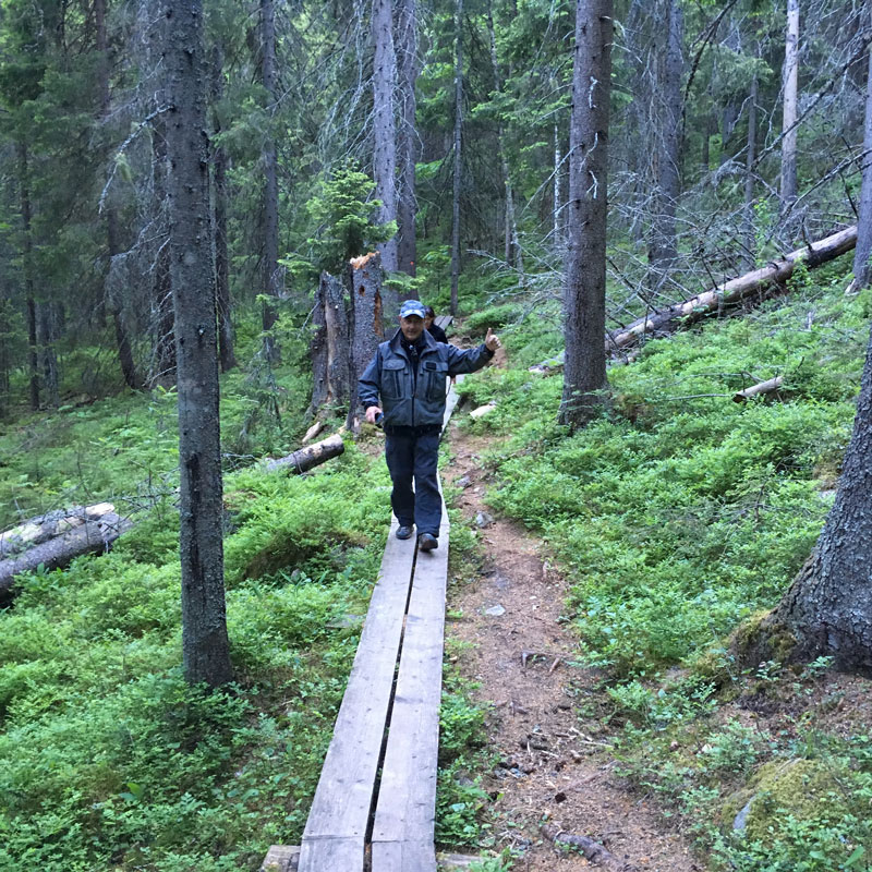
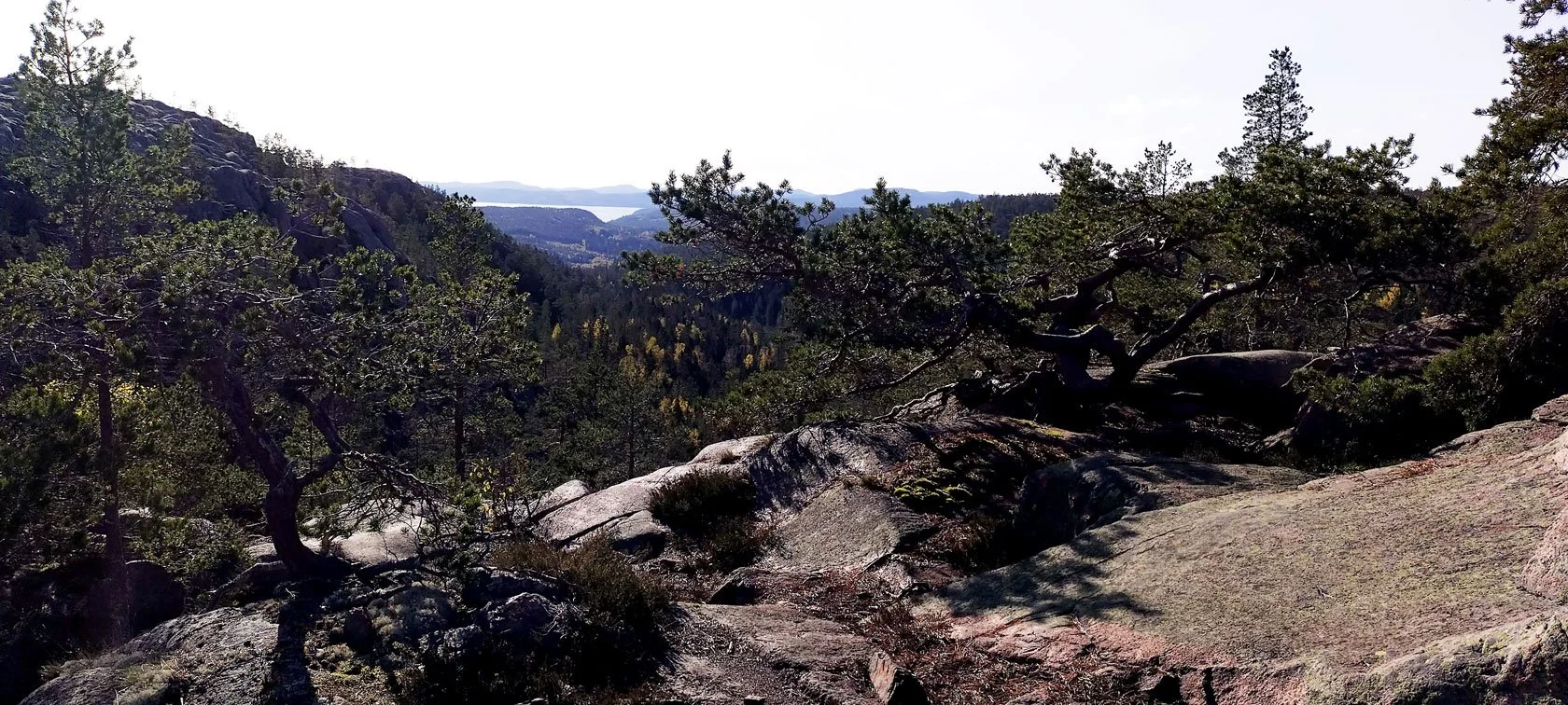
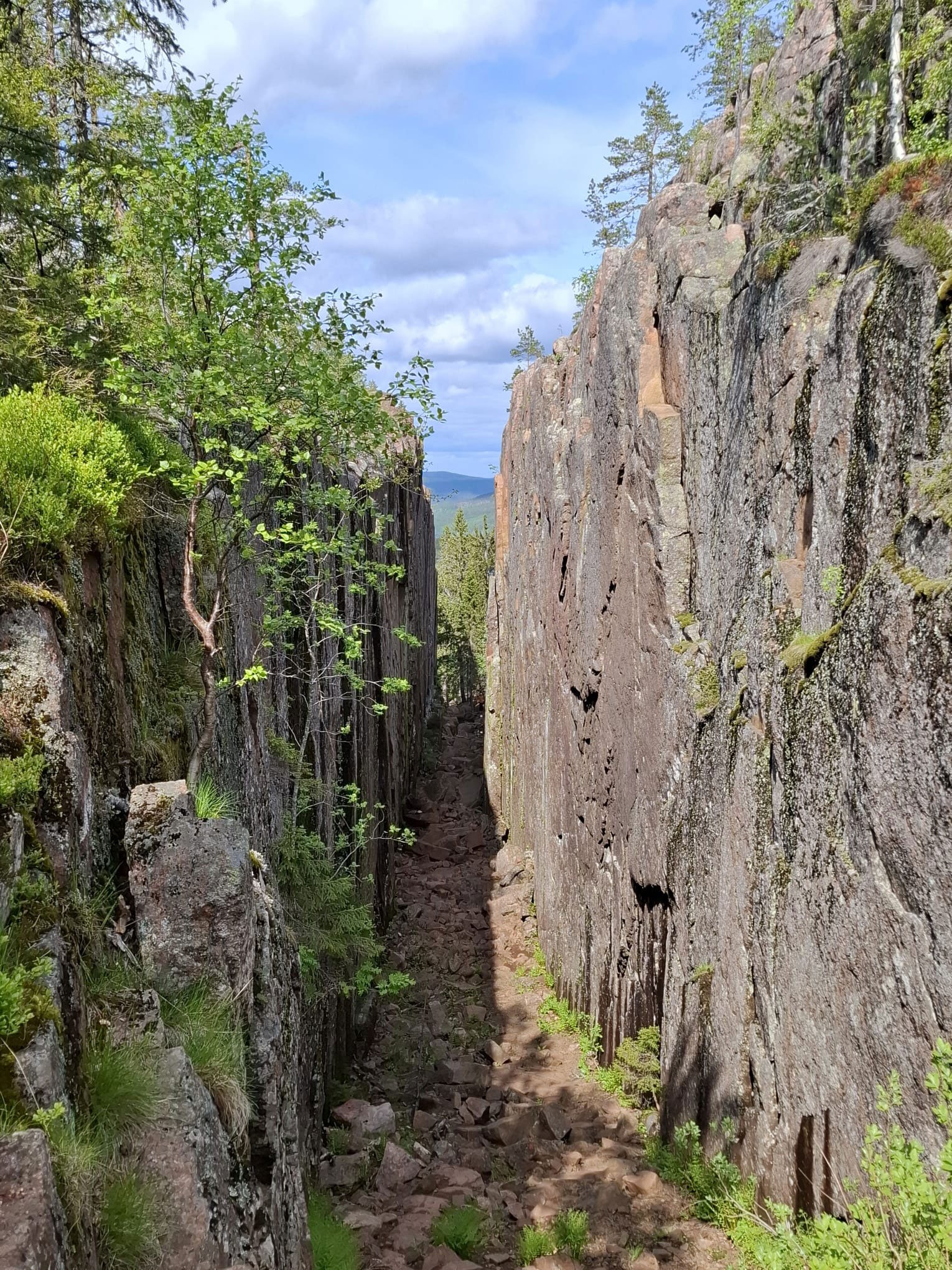
Yesterday, I hiked Grottstigen up Skuleberget, and it felt like stepping into a quieter version of the mountain. The granite faces that look so stark in July light were suddenly warm — almost gentle. The birches had started to turn, not the full October fire yet, but the first honest yellows and golds that tell you the season is shifting.
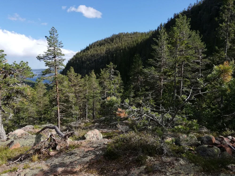
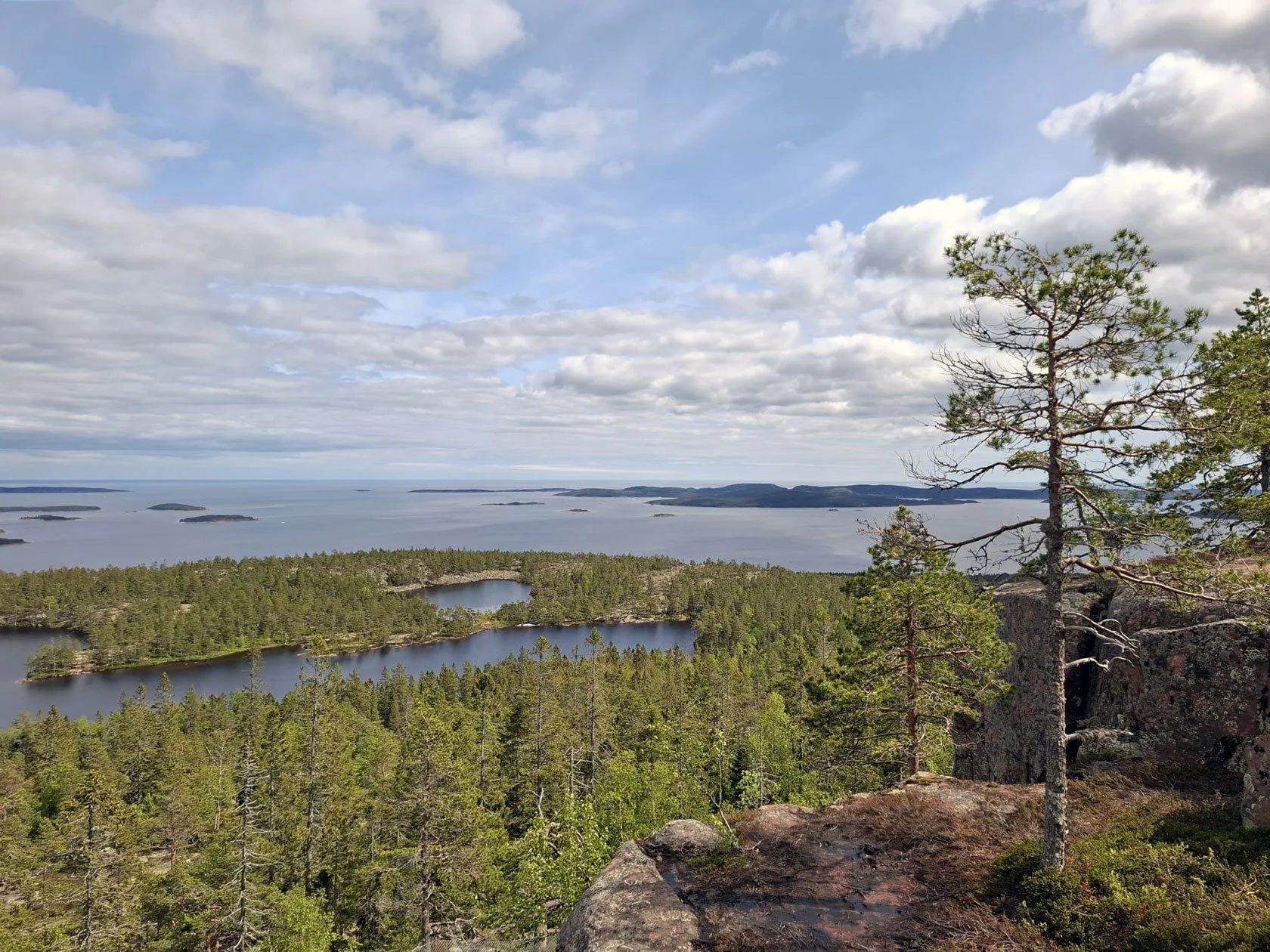
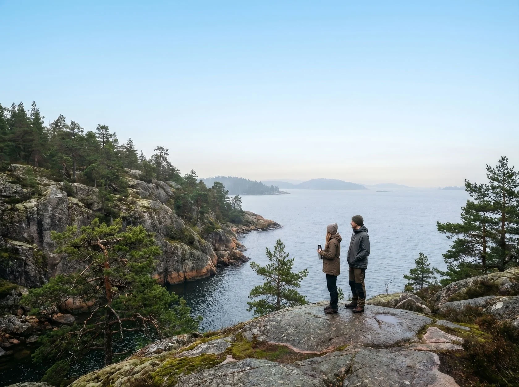
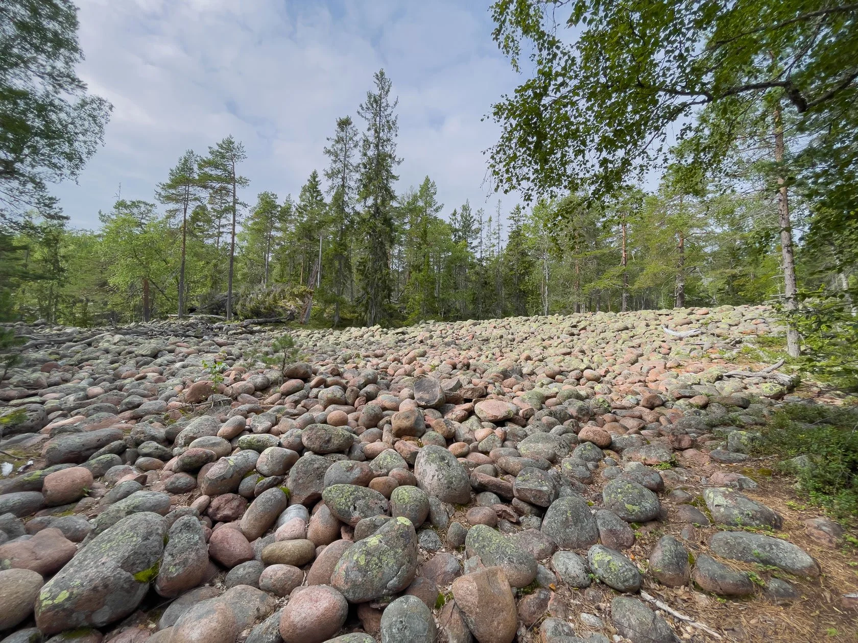
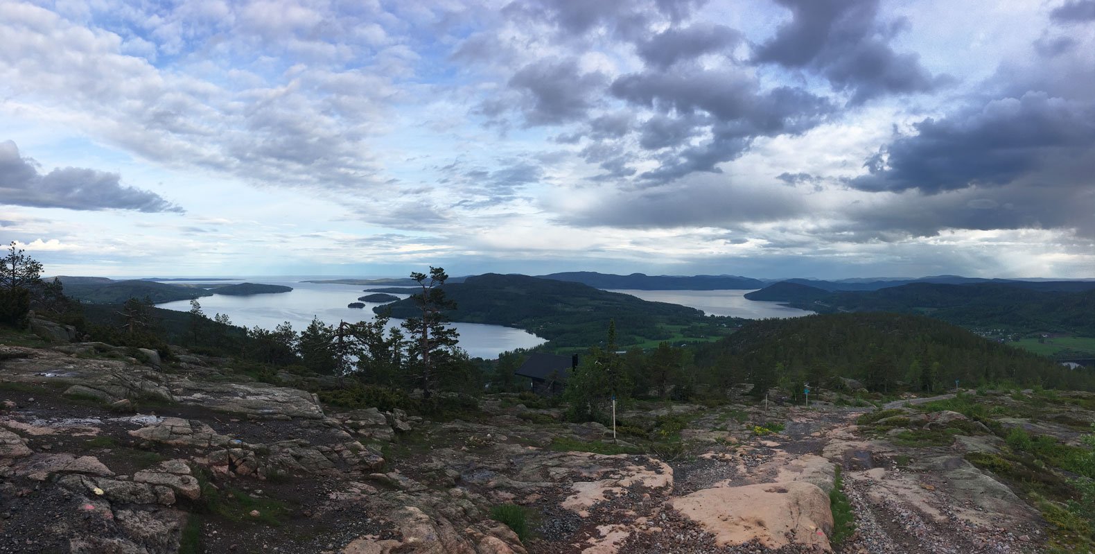
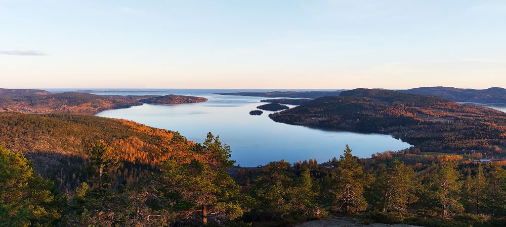
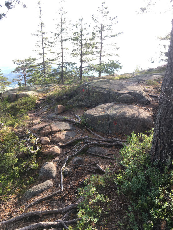
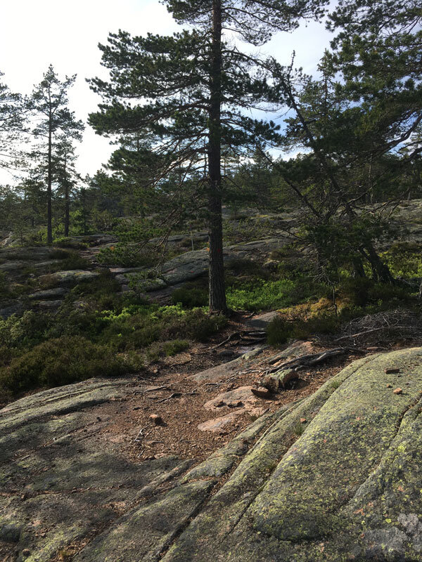
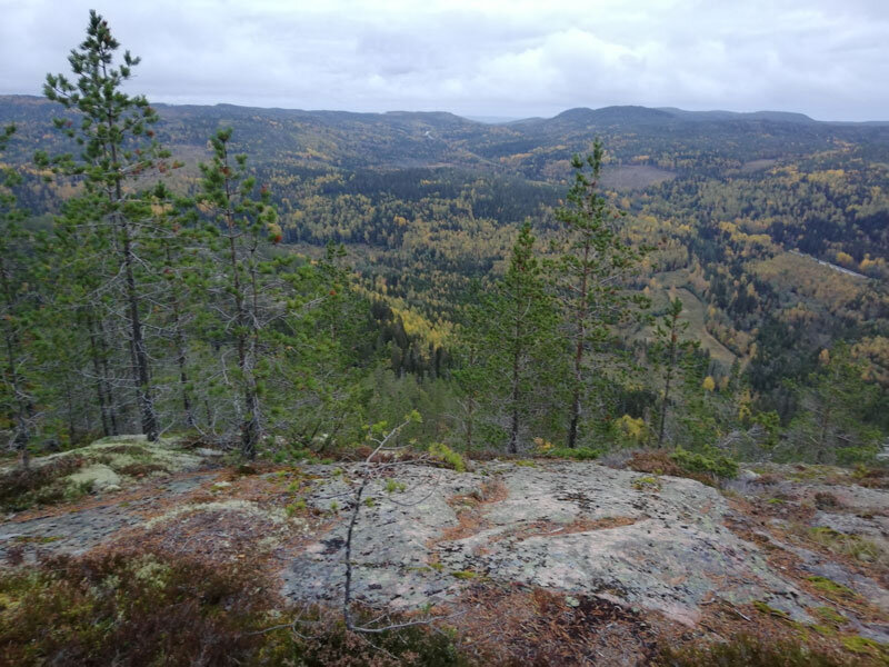
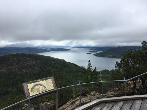
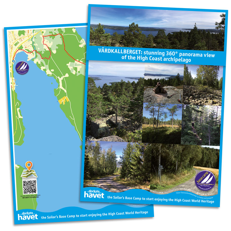
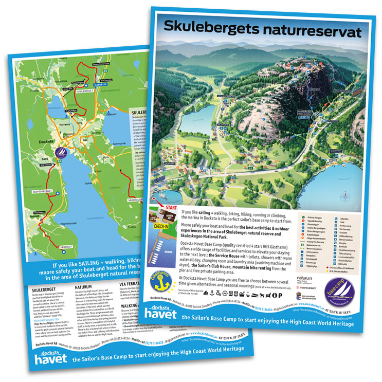
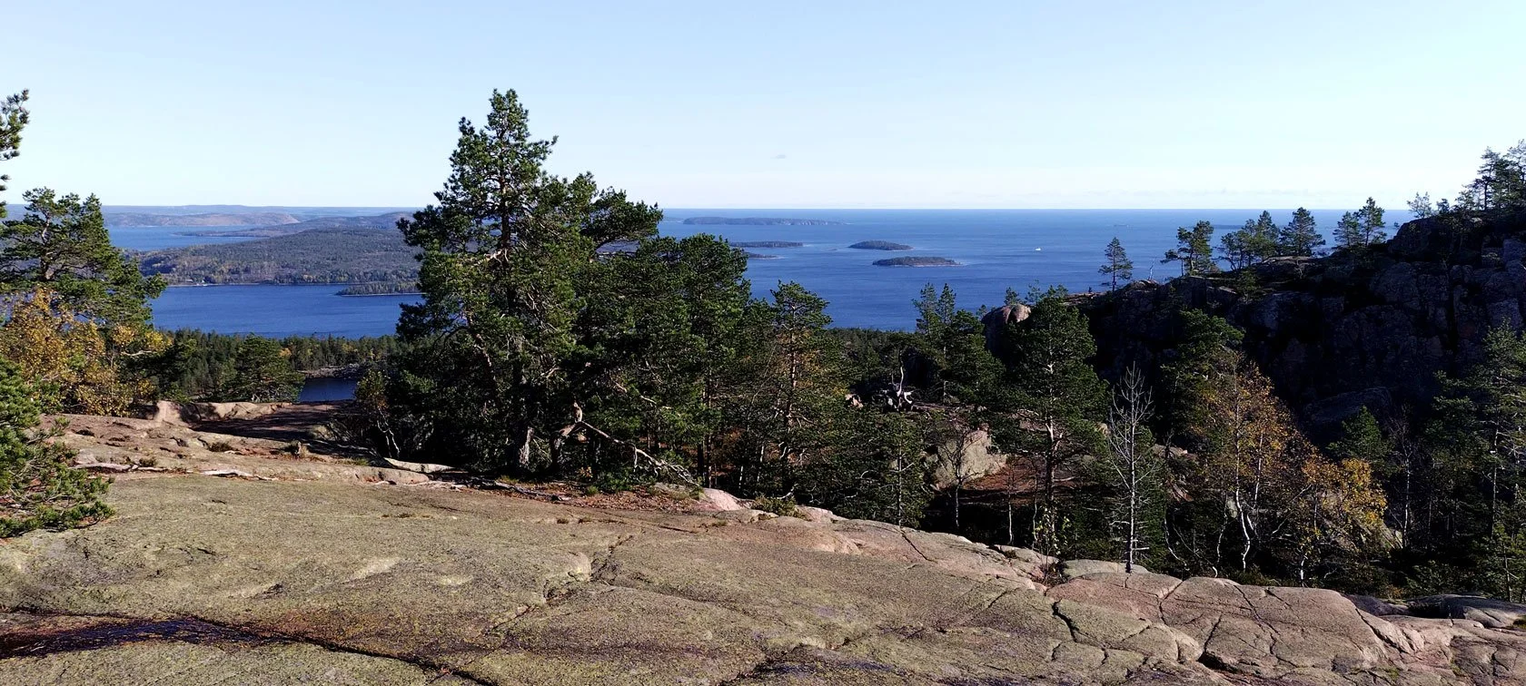
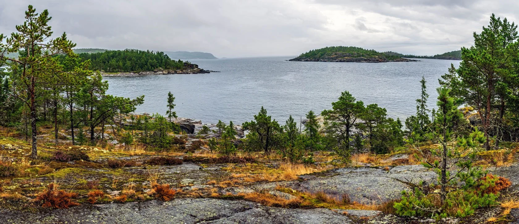
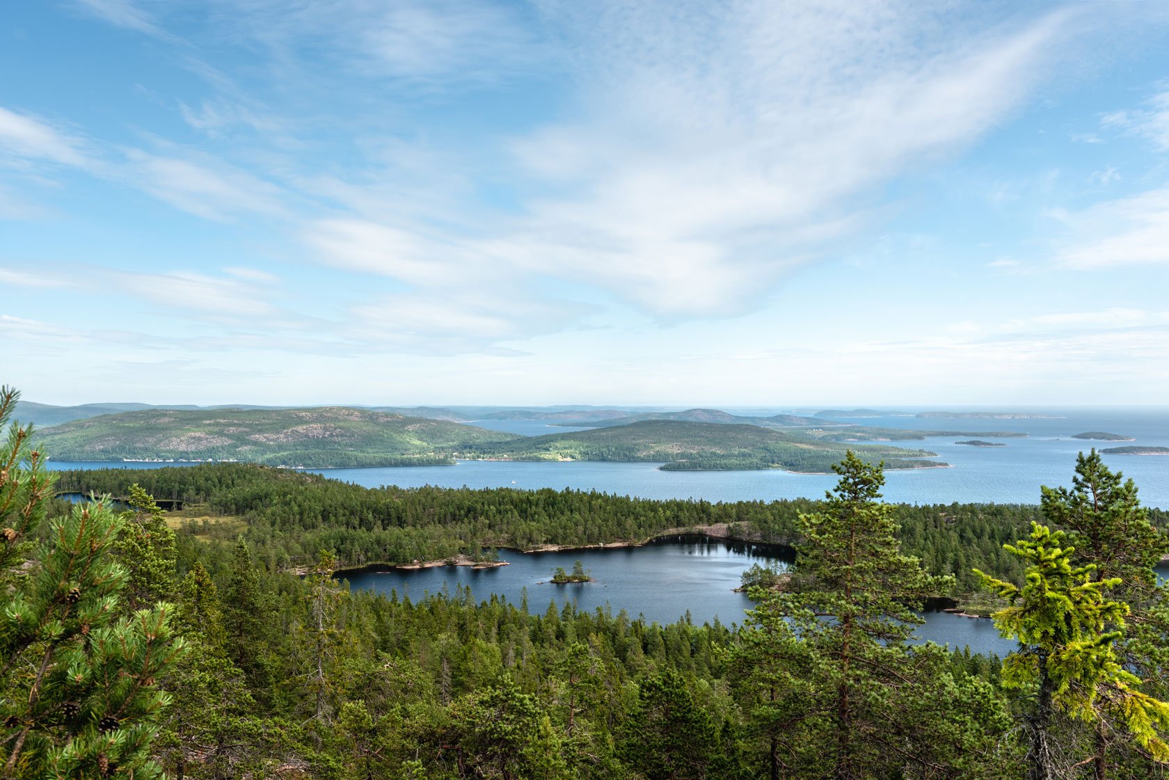
From the summit, looking out over Skuleskogen National Park to the east, you can see the transition happening. Summer’s deep greens begin to break into a patchwork, changing with every gust of wind. It’s on days like this — in these early‑September runs and hikes — that I remember why the High Coast earned its UNESCO World Heritage status. Not just beautiful. Something that lands deeper.
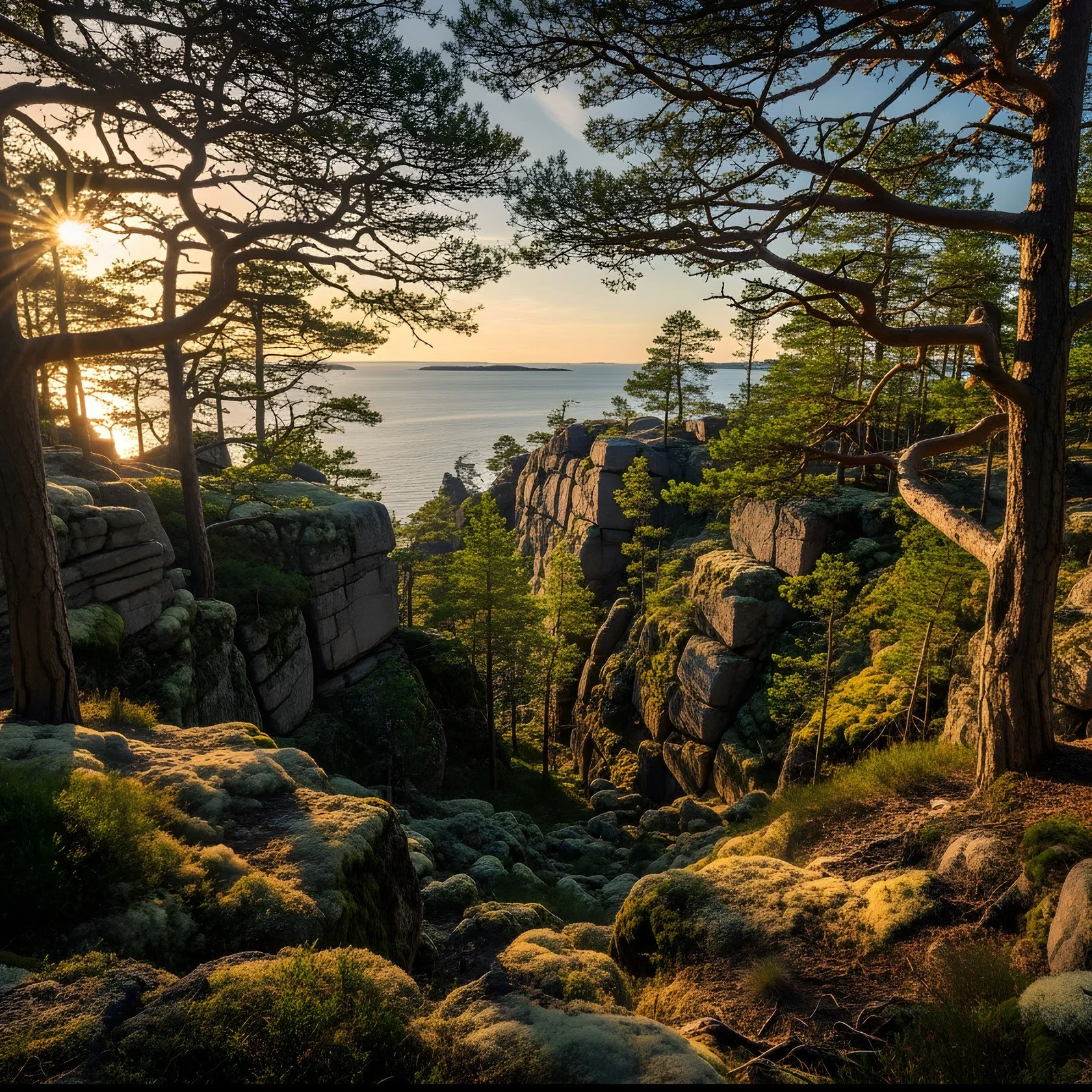
Pro tip for autumn hikers (and trail runners): take Kalottstigen — the trail that follows the ancient coastline, from when Skuleberget was still a small island rising out of the ice. It gives you some of the best views of the shifting colours, especially in late afternoon, when that golden September light hits the rocks and trees around the summit.
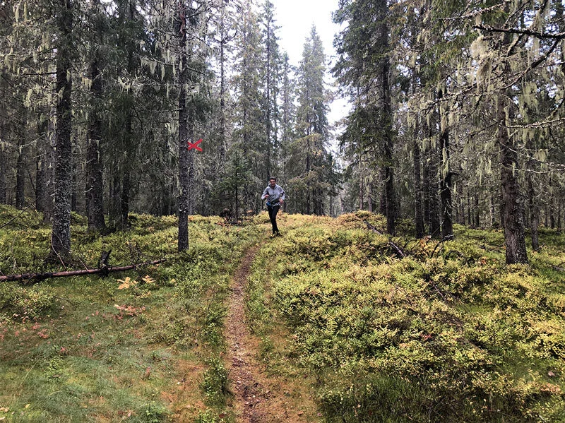
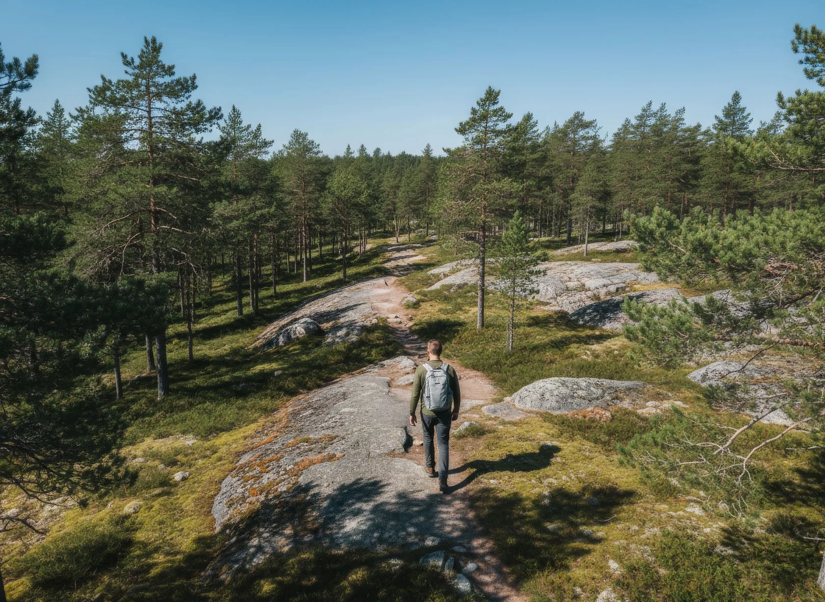
Trail Running Through Liquid Gold
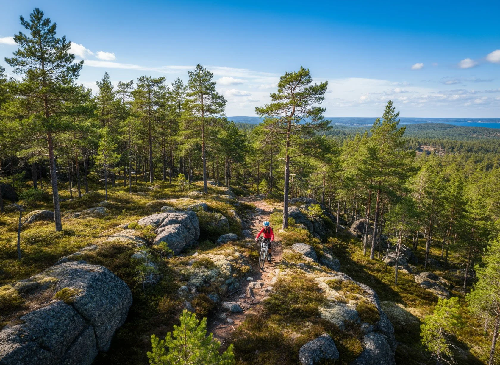
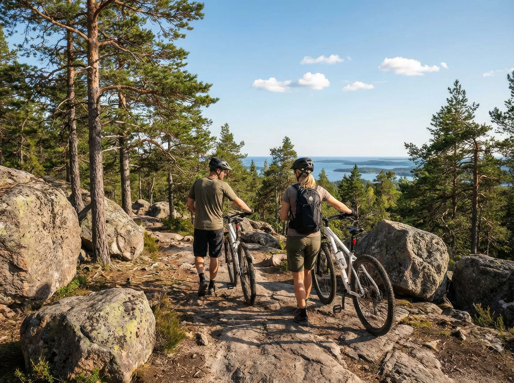
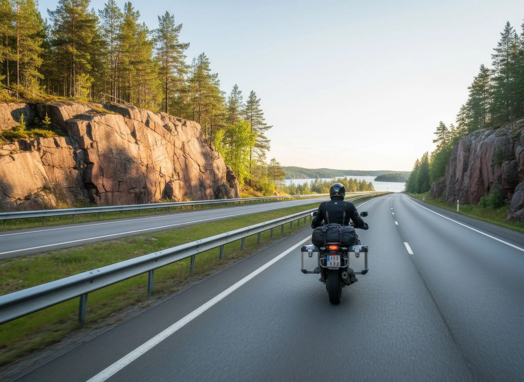
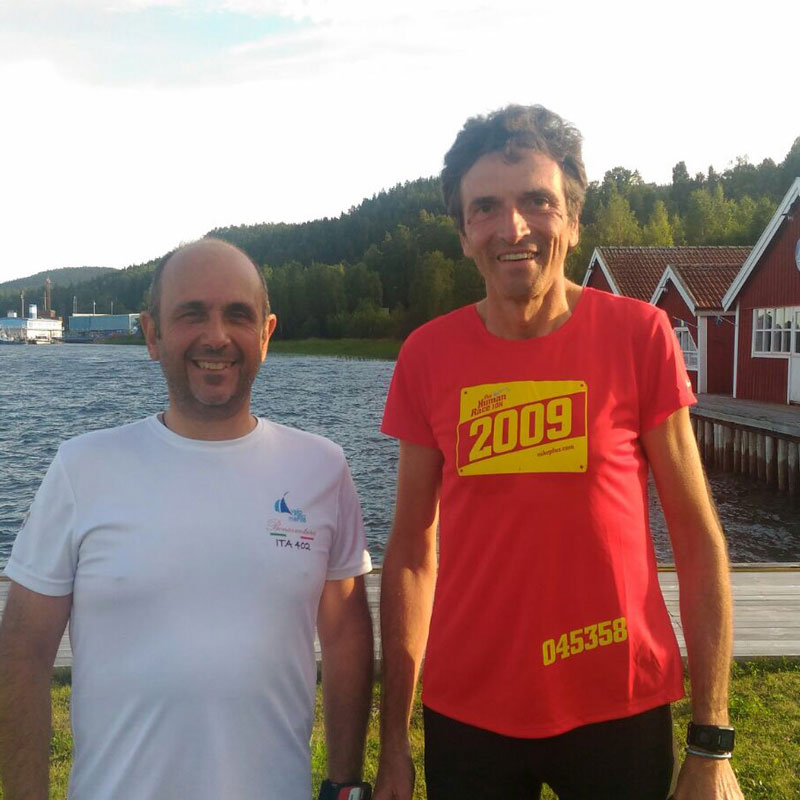
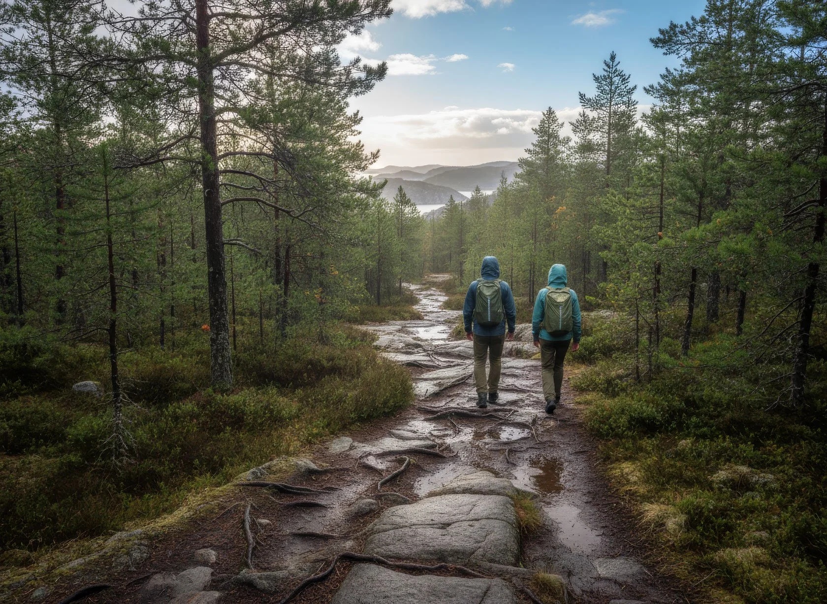
For trail running enthusiasts, the High Coast becomes something truly special after summer. In Docksta, early autumn brings a long weekend of racing during Höga Kusten Trail — routes that cross the national park, climb Skuleberget, and touch other panoramic summits nearby. Segments that feel brutal under July’s intense sun suddenly feel like running through liquid gold.
The temperature is perfect — cool enough to push your pace without overheating, warm enough that you don’t need layers. And the light? It’s like having a personal cinematographer following your every step.
That weekend is a magnet for passionate runners, and if you dream of staying seaside you’ll want to book well in advance (see our accommodations). For your own autumn running escape, our Guest House is an ideal home base: space to recover, a full kitchen for real meals, and a sea-view terrace that becomes even more spectacular in September light. The most iconic trails and peaks are right at your doorstep.
And when the day finally slows down, September sometimes gives you one more gift — not on the trail, but above the fjord.
Northern Lights: a September Bonus (Host Tip)
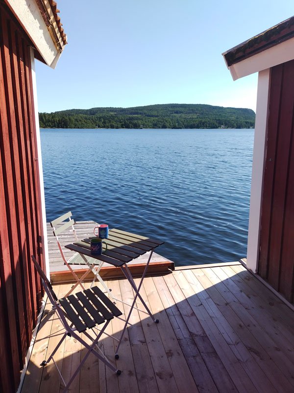
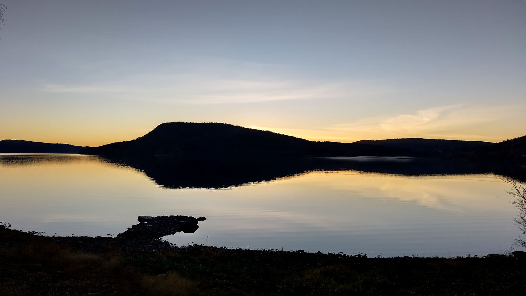
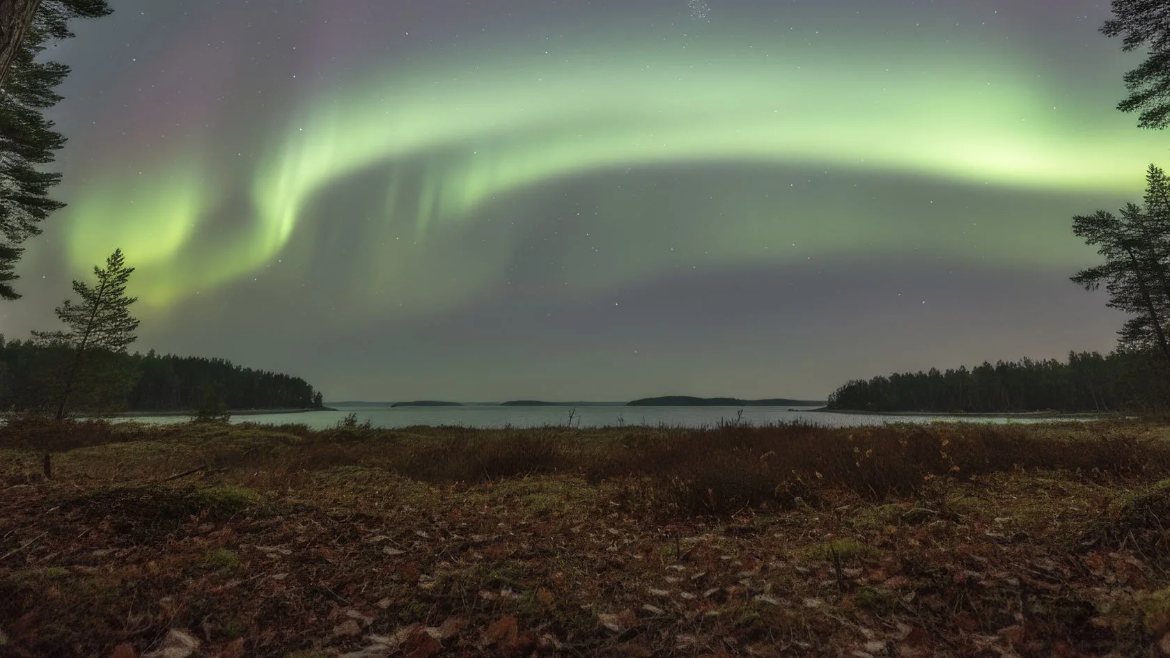
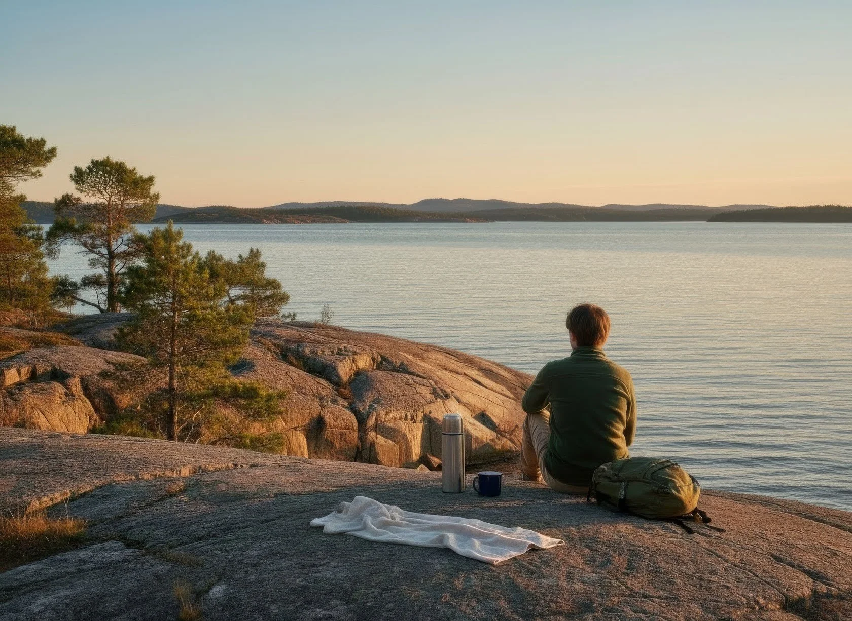
Northern lights are back, too. As the nights finally start to turn dark again (late August into early September), the sky sometimes surprises us with aurora — even here on the High Coast. You don’t have to be in Lapland to feel that kind of magic. On a clear night, the marina can become a front‑row seat: the fjord turns into a mirror, and the green movement above feels twice as alive.
If you’d like to try your luck, here’s my simple host routine. I check cloud cover first (a clear sky matters more than anything). Then I open yr.no (website, or even better the app) — reliable for our local weather, and with an integrated aurora forecast. And when the night looks promising, I step outside for ten minutes — no rush, no photos at first — just letting my eyes adjust to the dark. If you’re staying in the Boathouse, you’re already exactly where you want to be when the sky decides to dance.
Sometimes it’s nothing. Sometimes it’s a quiet glow — and that’s already enough. And sometimes it’s a memory you take home for years.
And after a night like that, the forest feels even quieter the next morning.
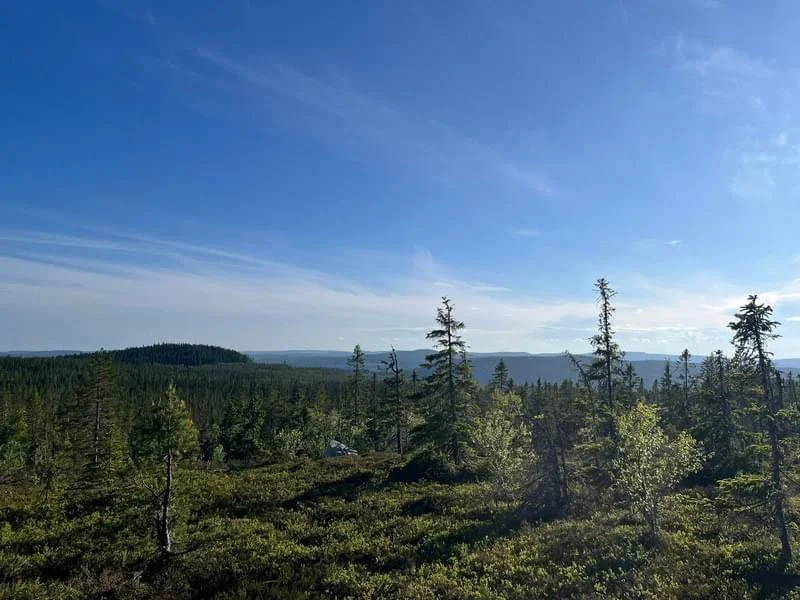
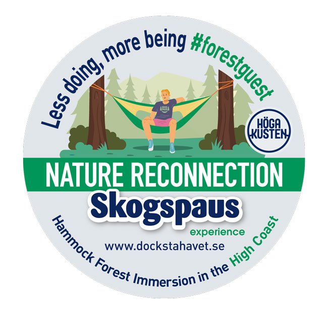
Skogspaus: Forest Pause in Autumn's Embrace
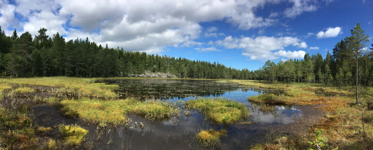
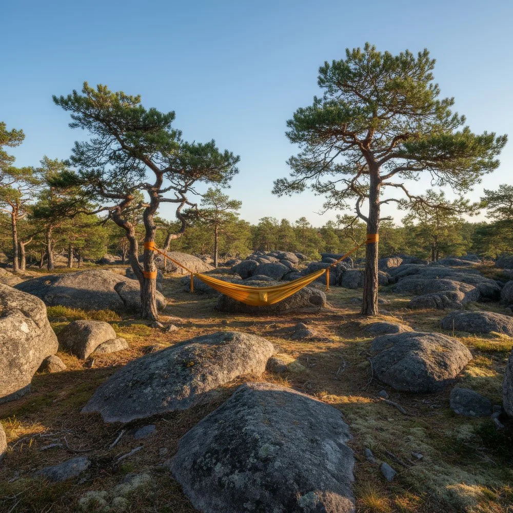
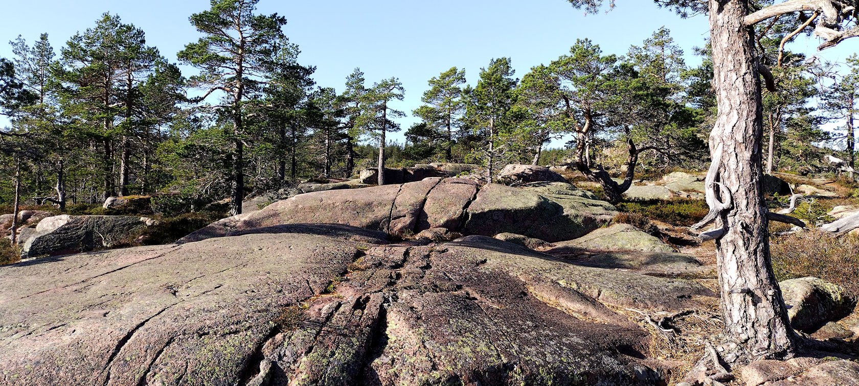
If there’s ever a time that truly inspired my hammock forest immersions, it’s September. After the first dark nights return — and the sky sometimes starts to dance again — the High Coast has a different energy then — quieter somehow, as if nature itself is taking a deep breath before winter’s long sleep. My favourite spots in the forest take on an almost mystical quality when filtered through autumn’s golden lens.
Last season, on one of the final Skogspaus weekends, I guided a couple from Germany to one of my favourite rocky pine forests near Docksta. As they settled into their hammocks, surrounded by the gentle rustling of leaves beginning their colour change, I watched something beautiful happen. The stress lines that had been etched on their faces when they arrived began to soften. The constant checking of phones stopped. They simply… breathed.
“This is what we came to the High Coast for,” she whispered to her partner, and I knew exactly what she meant. September in these mountains offers something you can’t find anywhere else — the perfect balance between summer’s energy and winter’s contemplation.
If you want to do it self-guided, we also have simple Skogspaus hammock kits (75 SEK/day) — and I’ll share a few tips for quiet spots.
Skogspaus: Experience Now, Go Deeper Later
Skogspaus has two lives.
One is here, in the forest: a 3-hour hammock immersion with me, bookable as an Airbnb Experience during the season (June-mid‑September).
The other is on the page: I’m also writing the Skogspaus book — not a trend piece, not a “self-help” manual, but a practical, lived path of nature reconnection for people who want the deeper story behind a simple pause.
If you’re planning an early-September stay, message me your dates — I’ll suggest the best day for the experience (and the right spot for the weather).
Sailing into Autumn's Golden Hour
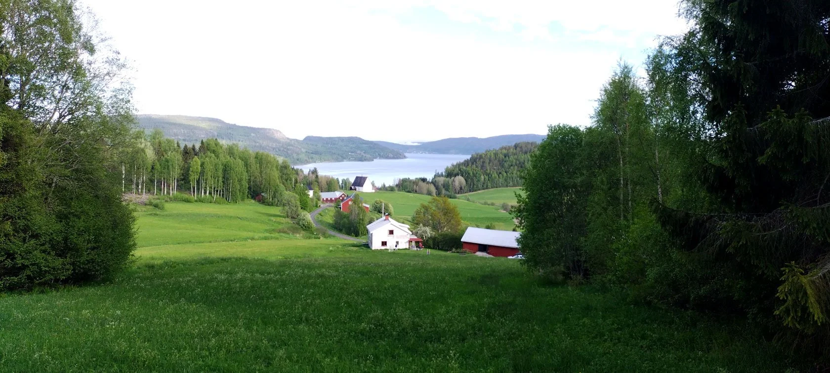
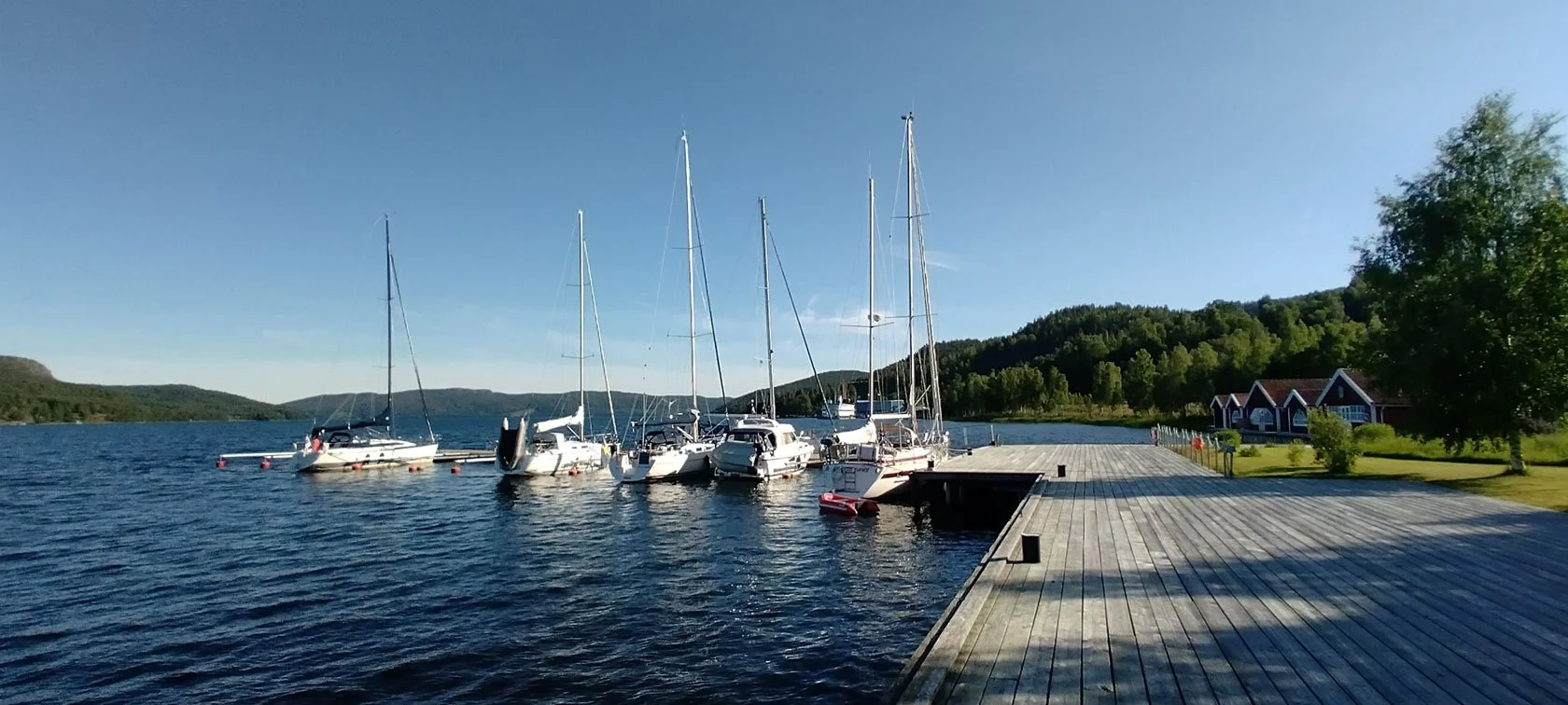
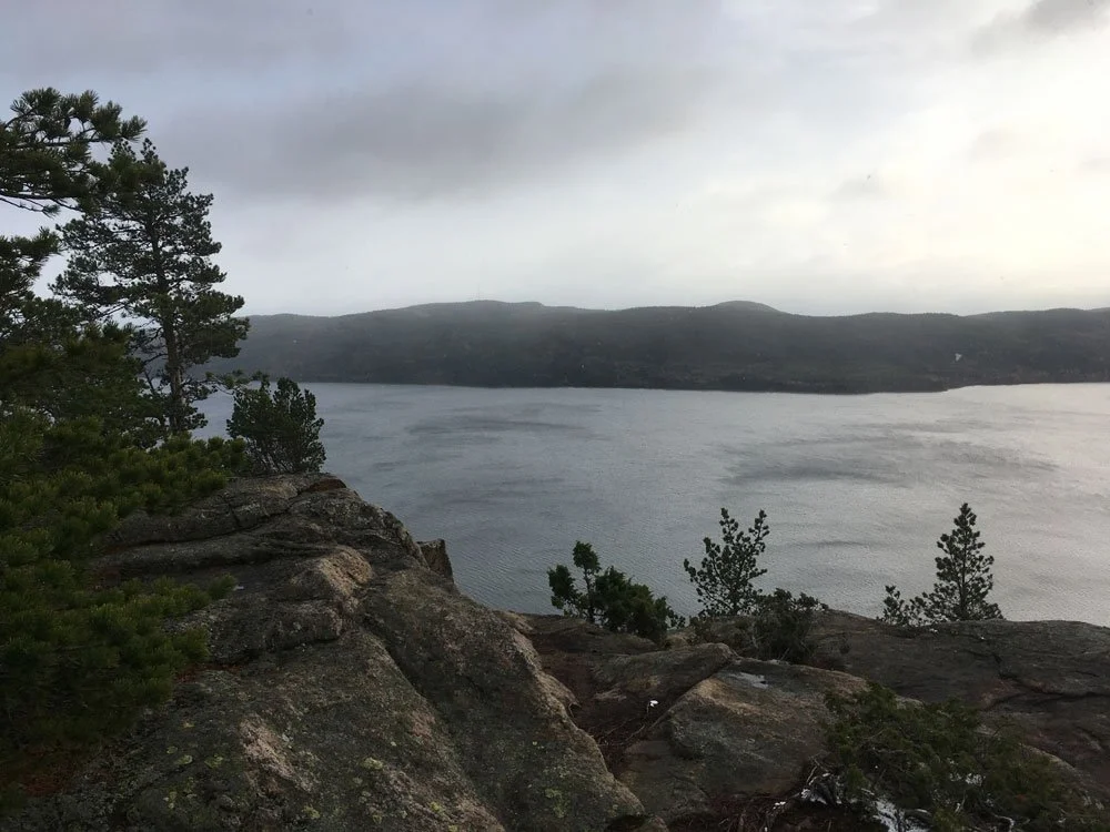
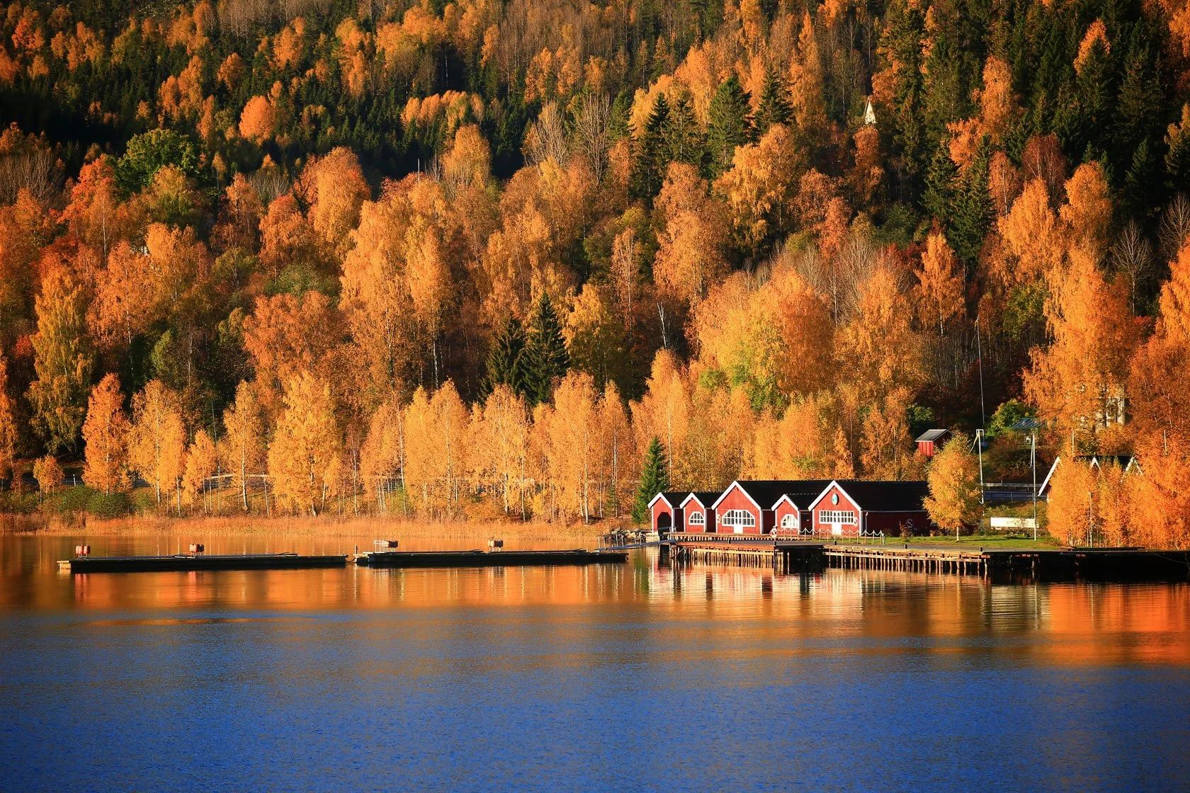
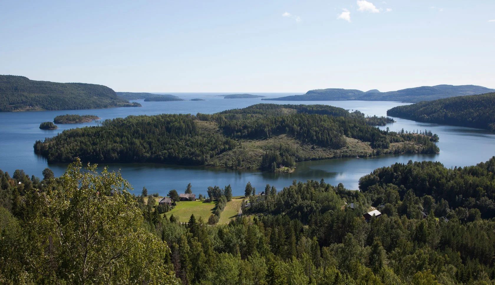
While the sailing season here usually winds down by mid‑August, September offers some of the most spectacular conditions of the year for simply living by the sea. The summer buzz has thinned, leaving the archipelago feeling more intimate, more personal. The water still holds summer’s warmth while the air turns crisp — perfect for those magical late‑season coastal days.
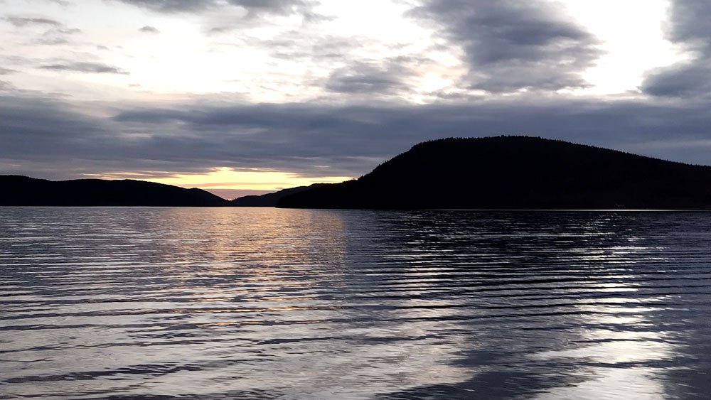
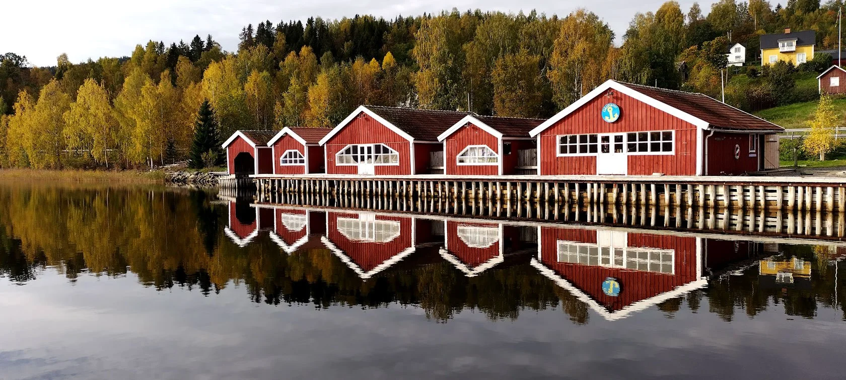
From our fjord, watching Docksta Varvet’s vessels return in the evening light, I’m struck by how different the same view can look. The rocky skerries that felt so dramatic in July’s bright light now appear softer, more welcoming. The water reflects the sky’s changing colours like a mirror, creating double sunsets that take your breath away.
Our Boathouse, right above the water at the marina, offers front‑row seats to these autumn seaside spectacles. Imagine waking up to this view every morning — and ending your day watching the fjord glow in that incredible September light.
Planning Your Early-September High Coast Adventure
If you're reading this in winter (or early spring) and feeling that pull toward the High Coast’s softer season, here’s what you need to know:
Best time to visit: the first half of September offers the perfect balance — still warm enough for comfortable hiking, with that distinctive first-autumn light quality.
What to pack: layers. Mornings can be crisp, afternoons still warm up beautifully.
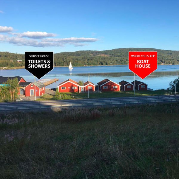
Where to stay
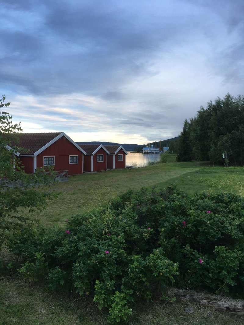
Guest House: perfect for families or groups wanting space and a full kitchen. That sea-view terrace is magic in September light.
Boathouse: for the minimalist traveller who wants to be as close to nature as possible.
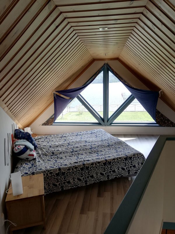
Dock House: ideal for couples seeking an intimate retreat right above the water (usually available until late August — message me for current availability)
Don’t miss
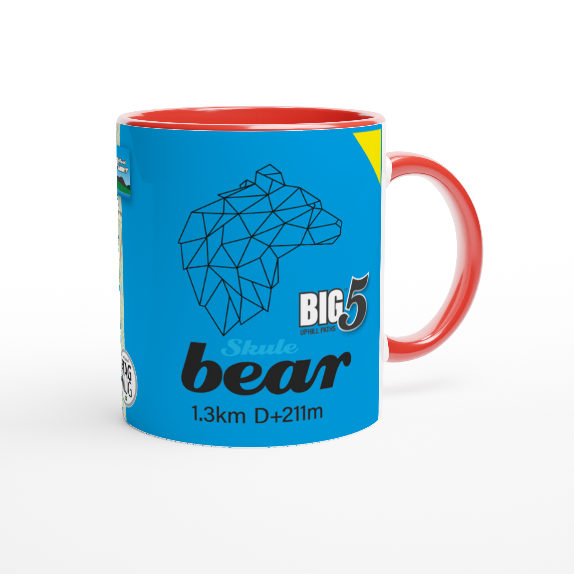
Sunrise hike up Skuleberget (the light is unbelievable) or late afternoon, trail running the #BIG5 segments (who dress in their warmest colors)
A Skogspaus session in a changing rocky pine forest above Docksta
A full day exploring the National Park (from the first steps by the sea to the panoramas above the trees and the archipelago — Skuleskogen will enchant you)
Evening sea views when the archipelago turns quiet again
Aurora is back: catch the dancing northern lights from your seaside base camp
The Bittersweet Beauty of Transition
There's something profoundly moving about September at Docksta Havet. It's the beginning of our goodbye to another season, but it's also when the High Coast reveals some of its most intimate secrets. The light that seemed so abundant in midsummer becomes precious now, each golden hour treasured because we know how quickly it will fade.
This is when I take longer excursions, explore new segments, linger in the hammock when the sun is already low, and finally see the landscape the way the busy summer months don’t always let you see it. Our guests slow down too — more time on the Guest House terrace, longer hikes, fewer plans… and a deeper kind of presence.
Looking Toward Spring's Promise
As I write this, watching the September light paint our marina in shades of gold, I'm already dreaming of next season. This is the time when we start planning improvements, dreaming up new experiences, and preparing for another magical summer. But it's also when we're reminded of why we fell in love with this place – not just for the busy energy of peak season, but for these quiet moments of transition when the High Coast shows its true soul.
September visitors often become our most passionate ambassadors. There's something about experiencing the High Coast in this transitional light that creates a deeper connection, a more profound appreciation for what makes this place special.
Ready to experience the High Coast’s autumn whisper for yourself? Our accommodations are available through mid-September — and trust me, early September is when the magic happens.
Ciao for now,
_Tommaso
P.S. If you’d like to keep a little thread with us between seasons, you’ll find us on Instagram: @DockstaHavetBaseCamp.
Skogspaus lives here: @Skogspausofficial.
And for the Skuleberget #BIG5 trail vibe: @Skulebergetbig5. (Plus my personal notes from the trails: @Tominthehighcoast )
Planning an early‑September stay? Message me your dates — I’ll help you choose the best day for Skogspaus based on the forecast
Please write me by email or WhatsApp at +46.763136909
For Exploring the High Coast [index]:
For Hikers [index]:

For Forest Guests [index]: