

VÅRDKALLBERGET
Amazing 360° panorama of the High Coast archipelago

VÅRDKALLBERGET peak 265m a.s.l.
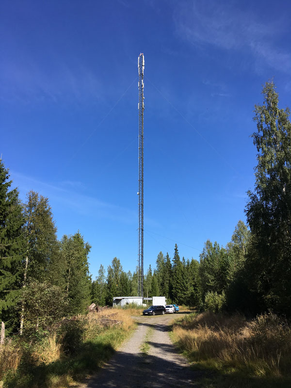
Starting from the piers of the marina, this medium difficulty walk of 6,2 km takes you to the peak of Vårdkallberget, on the ridge between Dockstafjärden and Norrfjärden. The path heads into the fields of the countryside and into the forest. The first part of about 4 km, until the antenna, is more steep and can be reached also by bike. From then, an easy walk of 2 km takes you to the top at 265 m a.s.l. being all the way on the ridge with open views around.
The view is stunning. It allows you to see all the way through the High Coast shoreline from north to south and around, including Skuleberget, Ulvön, Mjältön, Trysunda as far as your sight arrives.
WALKING: 70 min
TOTAL DISTANCE: 6,2 km
Docksta Havet Base Camp -> Antenna 4,2 km
Antenna -> Vårdkallberget 2 km
Download: INFO MAP (FREE .pdf 4,2Mb) >
Share your experience with: #highcoastsailor #fromthepier #högakusten #vårdkallberget

The small hidden lake of Myrtjärnen, on the way to Vårdkallberget.


View toward south-east from Vårdkallberget.