
HÖGA KUSTEN STIGEN TO SKULEBERGET TOP
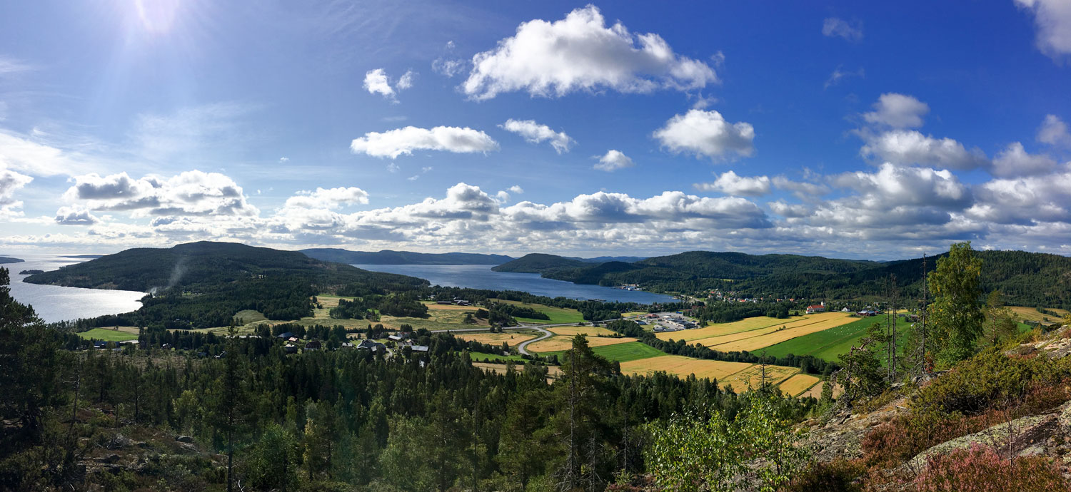
Amazing path opened in 2017 on the sunny, south facing side of Skuleberget brings you to the world highest shoreline on the top of the mountain at 295 m.a.s.l.

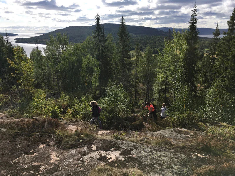
HIKING SKULEBERGET & NATURUM: an amazing walk in the nature to discover the beauty of the Skuleberget mountain
INFO MAP (FREE - .pdf - 4,2Mb) >
Starting from the piers of the marina, this path of 11,5 km takes you to the peak of Skuleberget. The path takes you first to Friluftsbyn, then enters the Höga Kusten Stigen, the new track (2,5 km) to the top of the mountain that has been inaugurated in 2017. Once reached the peak and Toppstugan, an easy walk down hill of 3,5 km takes you to the Naturum Höga Kusten.
The view is spectacular with any weather and the fact that the path is facing south gives you... a little extra comfort in the colder days ;)
WALKING: 180 min
TOTAL DISTANCE: 11,5 km
Docksta Havet Base Camp -> Friluftsbyn 2,2 km
Friluftsbyn -> Skuleberget peak 2,5 km (uphill along the “Höga Kusten Stigen” path)
Skuleberget peak -> Naturum 3,5 km (downhill along the path marked with blue dots)
Naturum -> Docksta Havet Base Camp 3,3 km (along the terrain road back to the village)
Share your experience with: #highcoastsailor #fromthepier #högakusten #skuleberget #naturumhögakusten