HOME
HOLIDAY RENTALS
OUTDOOR GEAR RENTAL
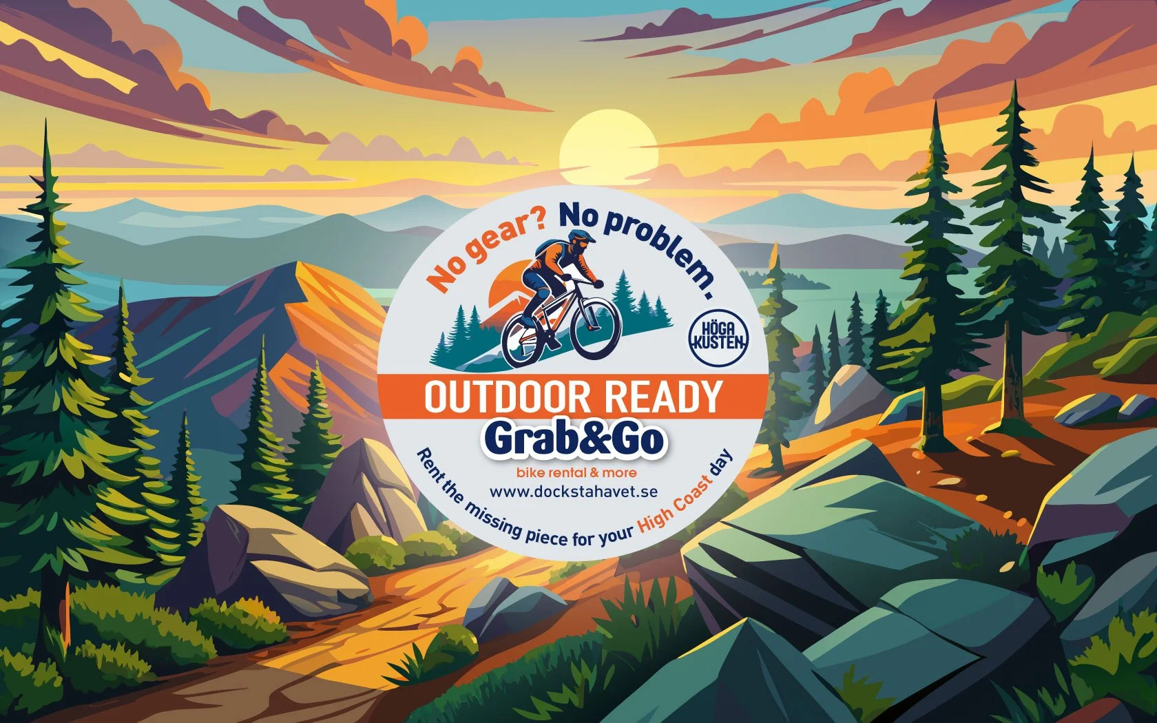
Grab&Go - Bike Rental & more
Grab&Go – Guides & Stories
Curated Plans [index]
Guest Harbour
Holiday Mini-Guides
⛵ #HighCoastSailor Mini-Guide
🇬🇧 Holiday Practical Mini-Guide
🇸🇪 Höga Kusten Semester Mini-Guide
🇩🇪 Hochküsten Urlaubs Mini-Guide
🇫🇮 Loman Käytännön Miniopas
🇮🇹 Alla scoperta della Costa Alta svedese | mini-guida
Explore Höga Kusten
Activities outdoors
FREE INFO MAPS
Trail running
#BIG5 Challenge 2025
Sailing High Coast
Sailing Learning Academy | Play2sail
Sailing mugs
Sailing Posters
Map Posters
BLOG INDEX
All the latest blog posts [index]
Holiday Rentals (Seaside Stays) [index]
For Exploring the High Coast [index]
For Hikers [index]
For Sailors [index]
For RC Sailors [index]
For Trail Runners [index]
For Bikers [index]
For Forest Guests [index]
For Outdoor Enthusiasts [index]
Guides & Stories — Curated Plans [index]
Workation Escape [index]
NEWS | BLOG
Exhibits & Events
ABOUT US
E-SHOP Souvenirs
HOME
HOLIDAY RENTALS
OUTDOOR GEAR RENTAL
Grab&Go - Bike Rental & more
Grab&Go – Guides & Stories
Curated Plans [index]
Guest Harbour
Holiday Mini-Guides
⛵ #HighCoastSailor Mini-Guide
🇬🇧 Holiday Practical Mini-Guide
🇸🇪 Höga Kusten Semester Mini-Guide
🇩🇪 Hochküsten Urlaubs Mini-Guide
🇫🇮 Loman Käytännön Miniopas
🇮🇹 Alla scoperta della Costa Alta svedese | mini-guida
Explore Höga Kusten
Activities outdoors
FREE INFO MAPS
Trail running
#BIG5 Challenge 2025
Sailing High Coast
Sailing Learning Academy | Play2sail
Sailing mugs
Sailing Posters
Map Posters
BLOG INDEX
All the latest blog posts [index]
Holiday Rentals (Seaside Stays) [index]
For Exploring the High Coast [index]
For Hikers [index]
For Sailors [index]
For RC Sailors [index]
For Trail Runners [index]
For Bikers [index]
For Forest Guests [index]
For Outdoor Enthusiasts [index]
Guides & Stories — Curated Plans [index]
Workation Escape [index]
NEWS | BLOG
Exhibits & Events
ABOUT US
E-SHOP Souvenirs
BLOG INDEX
All the latest blog posts [index]
Holiday Rentals (Seaside Stays) [index]
For Exploring the High Coast [index]
For Hikers [index]
For Sailors [index]
For RC Sailors [index]
For Trail Runners [index]
For Bikers [index]
For Forest Guests [index]
For Outdoor Enthusiasts [index]
Guides & Stories — Curated Plans [index]
Workation Escape [index]
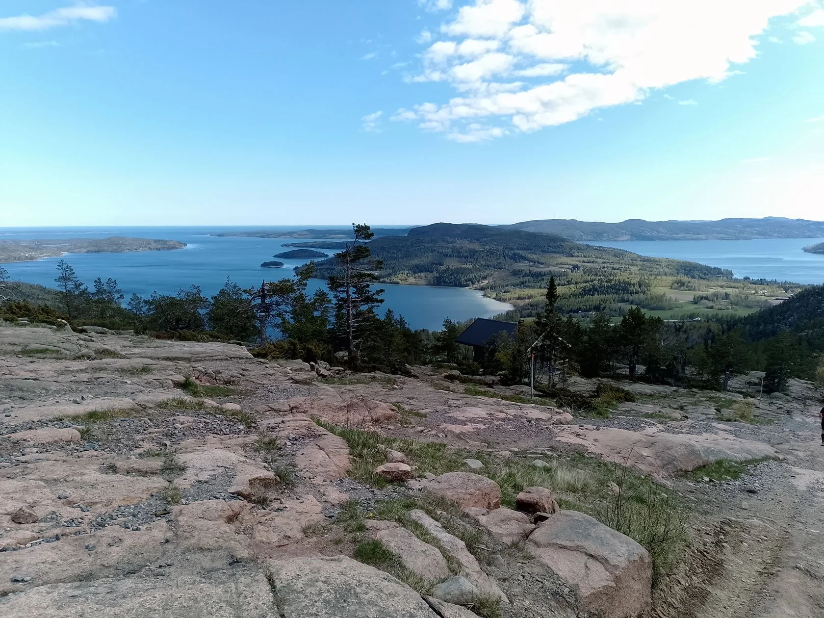
Read what we share from the Höga Kusten in our latest blog posts:
Featured
What’s New for Your 2026 High Coast Days (A Base Camp Recap)
Read more →
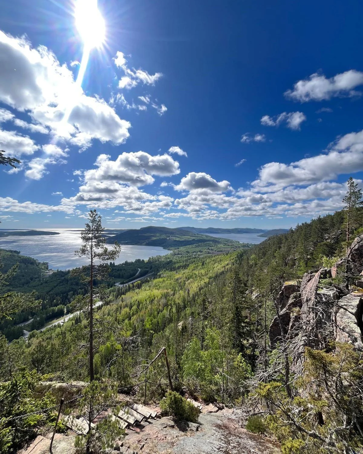
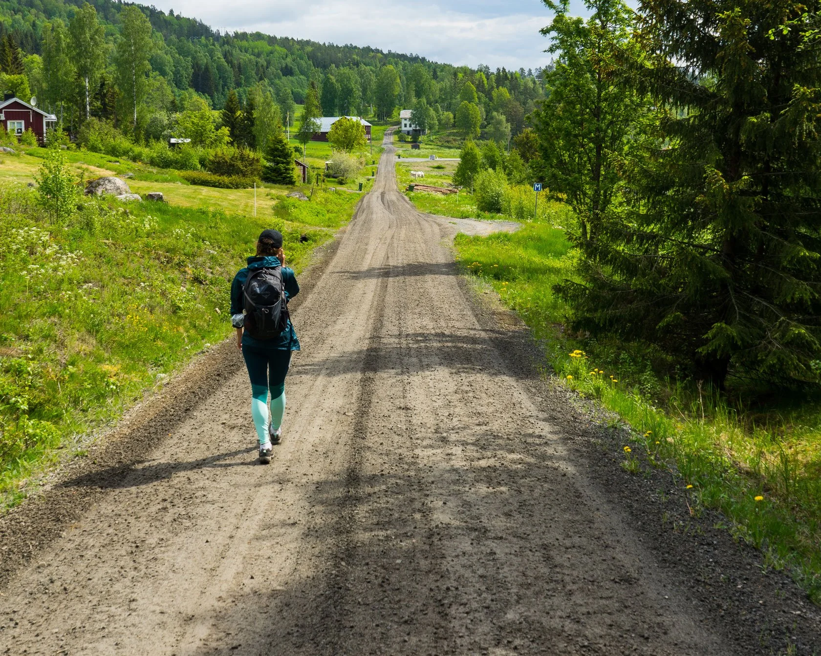
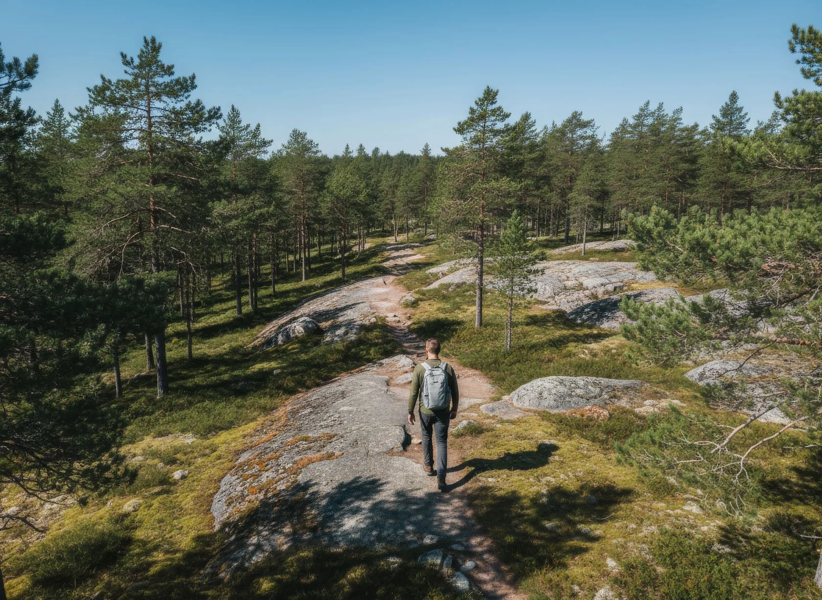
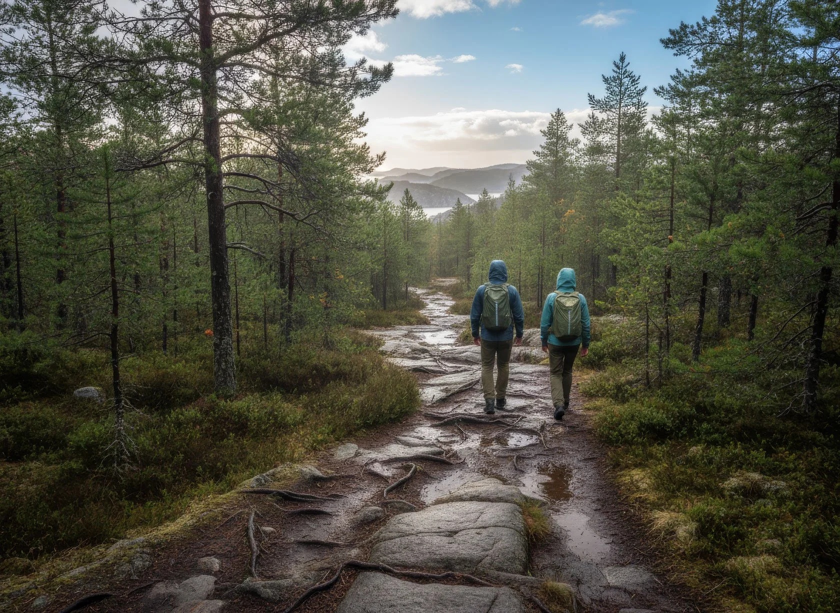
Hiking
How long is Höga Kustenleden (High Coast Trail), really?
Hiking
Read more →
Hiking
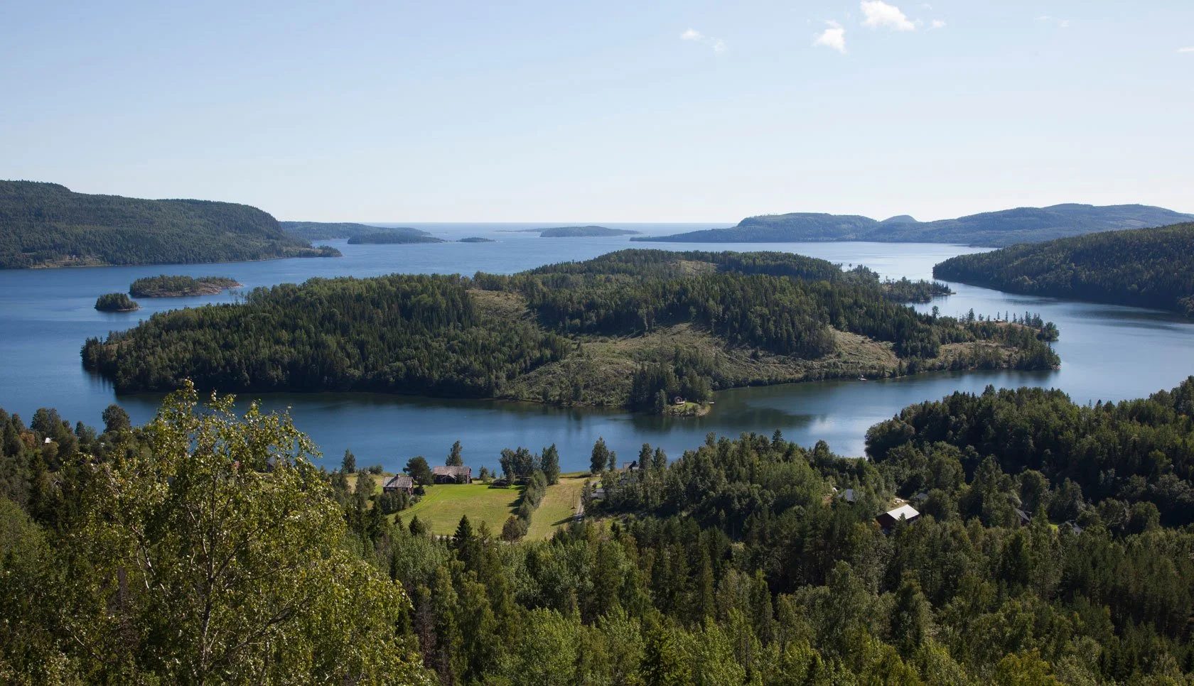
Explore Höga Kusten
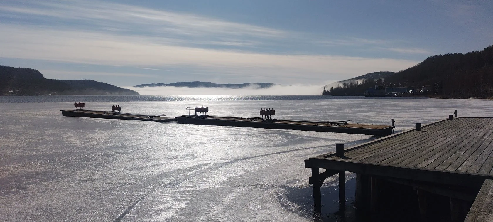
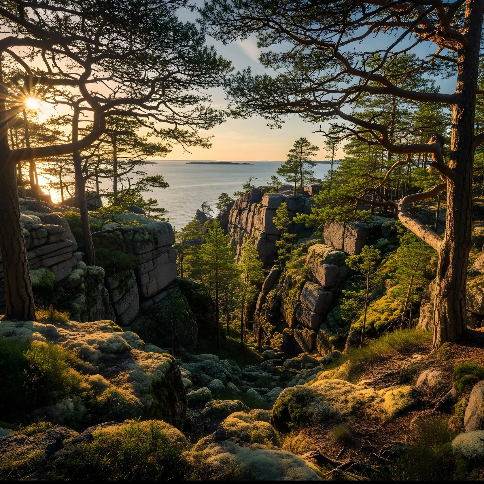
When the Sea Unfroze: High Coast Break‑Up Season (and an Unexpected Guest)
Explore Höga Kusten
Read more →
Explore Höga Kusten
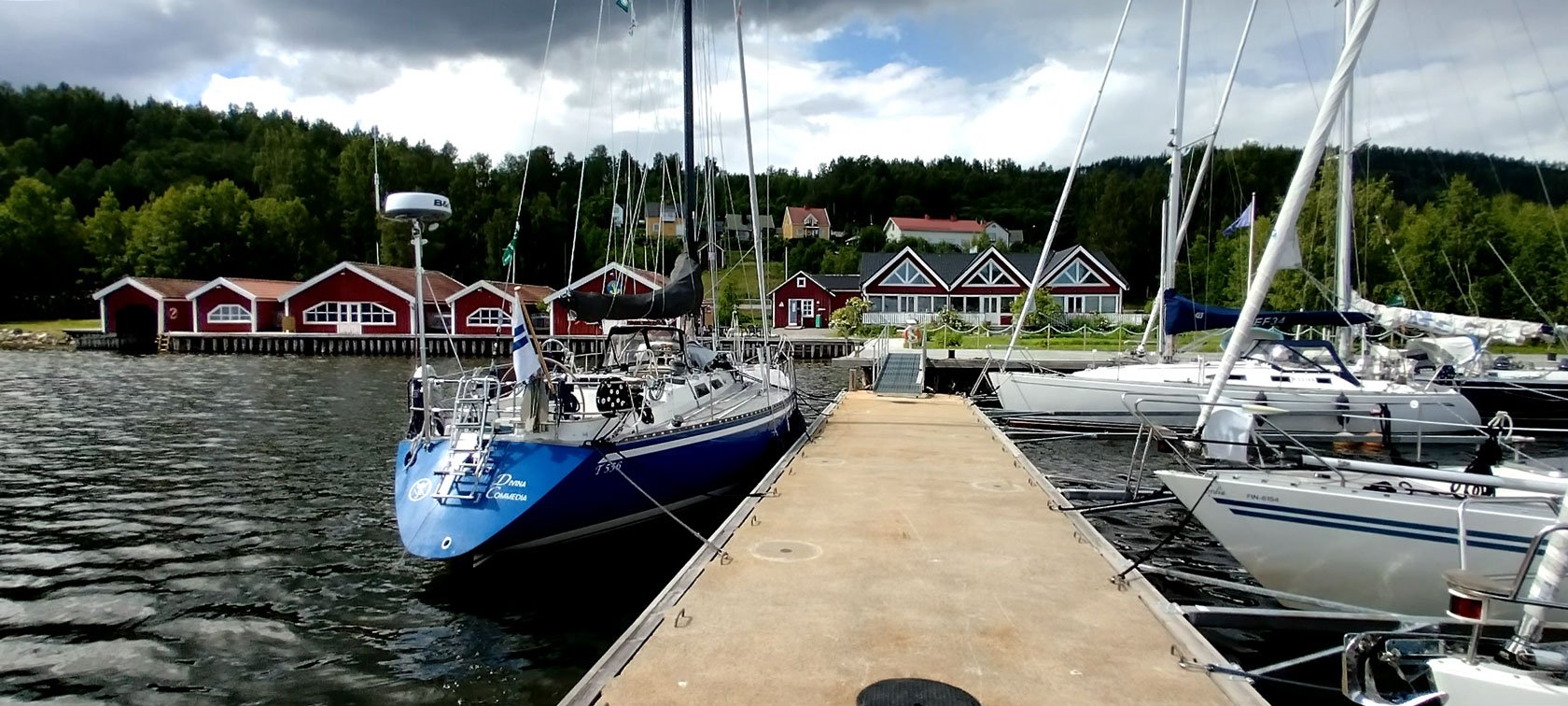
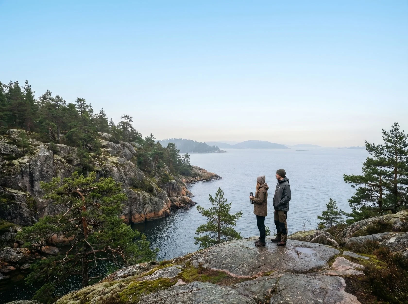
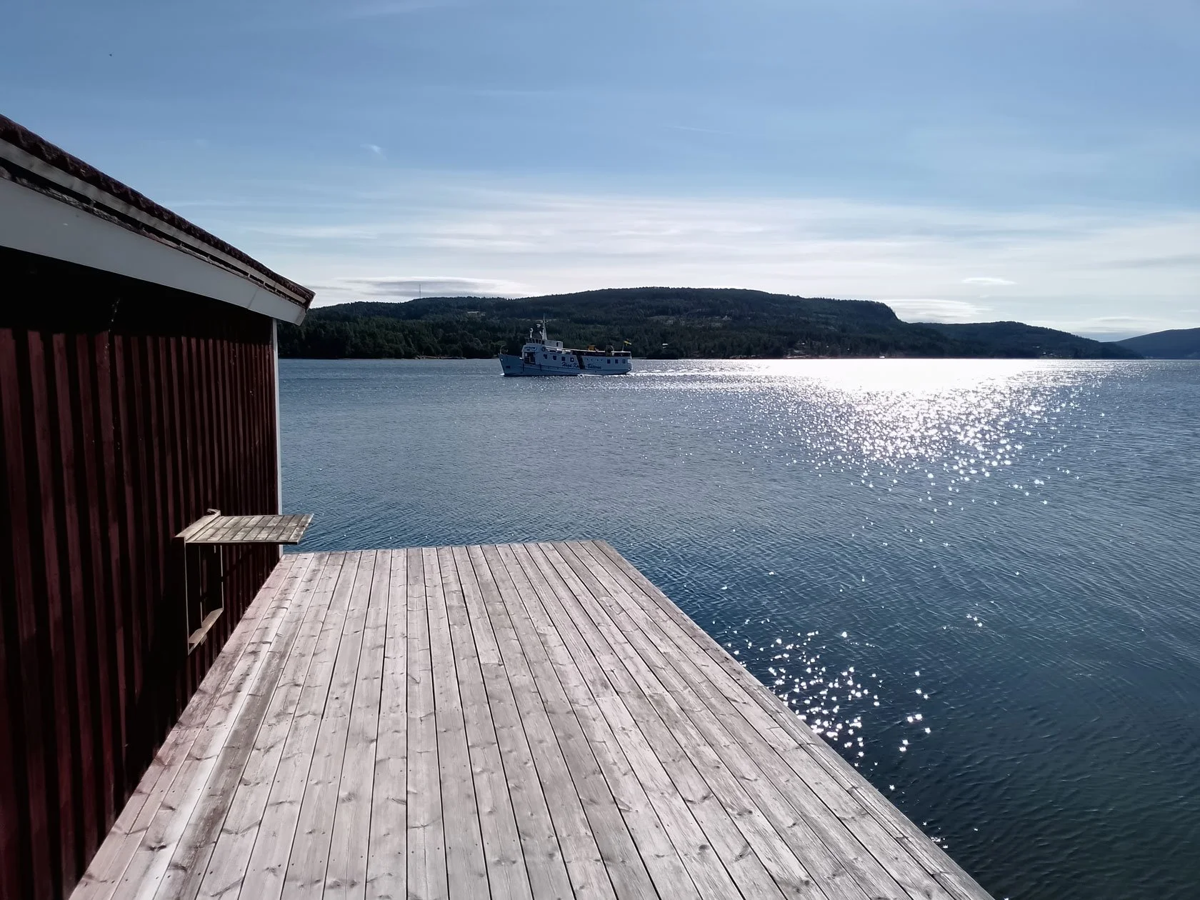
Sailing
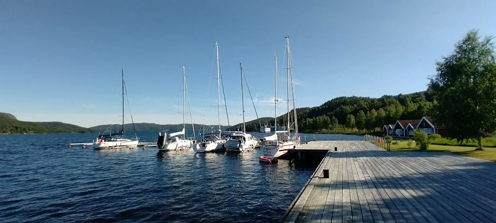
High Coast Stopover for Sailors (Docksta): the smart 2–3 night pause between sea and mountains
Sailing
Read more →
Sailing
Explore Höga Kusten
Coolcation in Sweden: Why the High Coast Feels Like a Summer Reset
Explore Höga Kusten
Read more →
Explore Höga Kusten
Hiking
Höga Kustenleden, without hero mode
Hiking
Read more →
Hiking
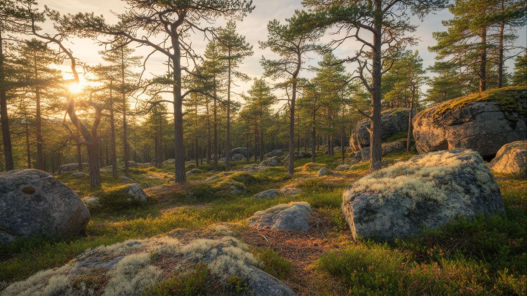
Forest Pause
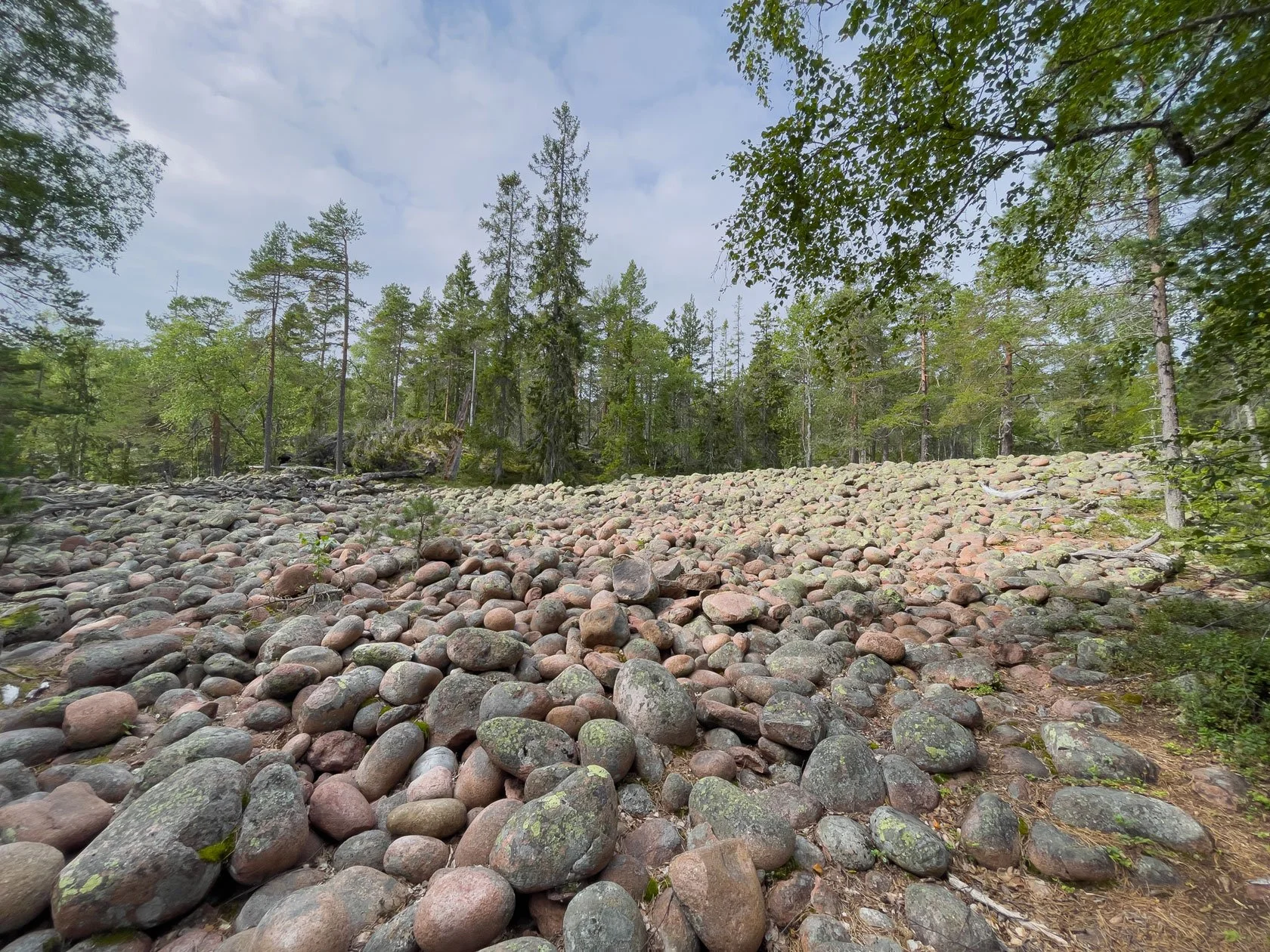
Before You Arrive in the High Coast: A Forest Guest Note
Forest Pause
Read more →
Forest Pause
Hiking
Friluftsliv, in plain words (High Coast edition)
Hiking
Read more →
Hiking
Explore Höga Kusten
Solo Travel in Sweden: A Quiet High Coast Base Camp for First-Timers
Explore Höga Kusten
Read more →
Explore Höga Kusten
Explore Höga Kusten
The High Coast is Big. Here's how to make it feel easy (Base Camp in Docksta)
Explore Höga Kusten
Read more →
Explore Höga Kusten
Forest Pause
Forest Pause in the High Coast
Forest Pause
Read more →
Forest Pause
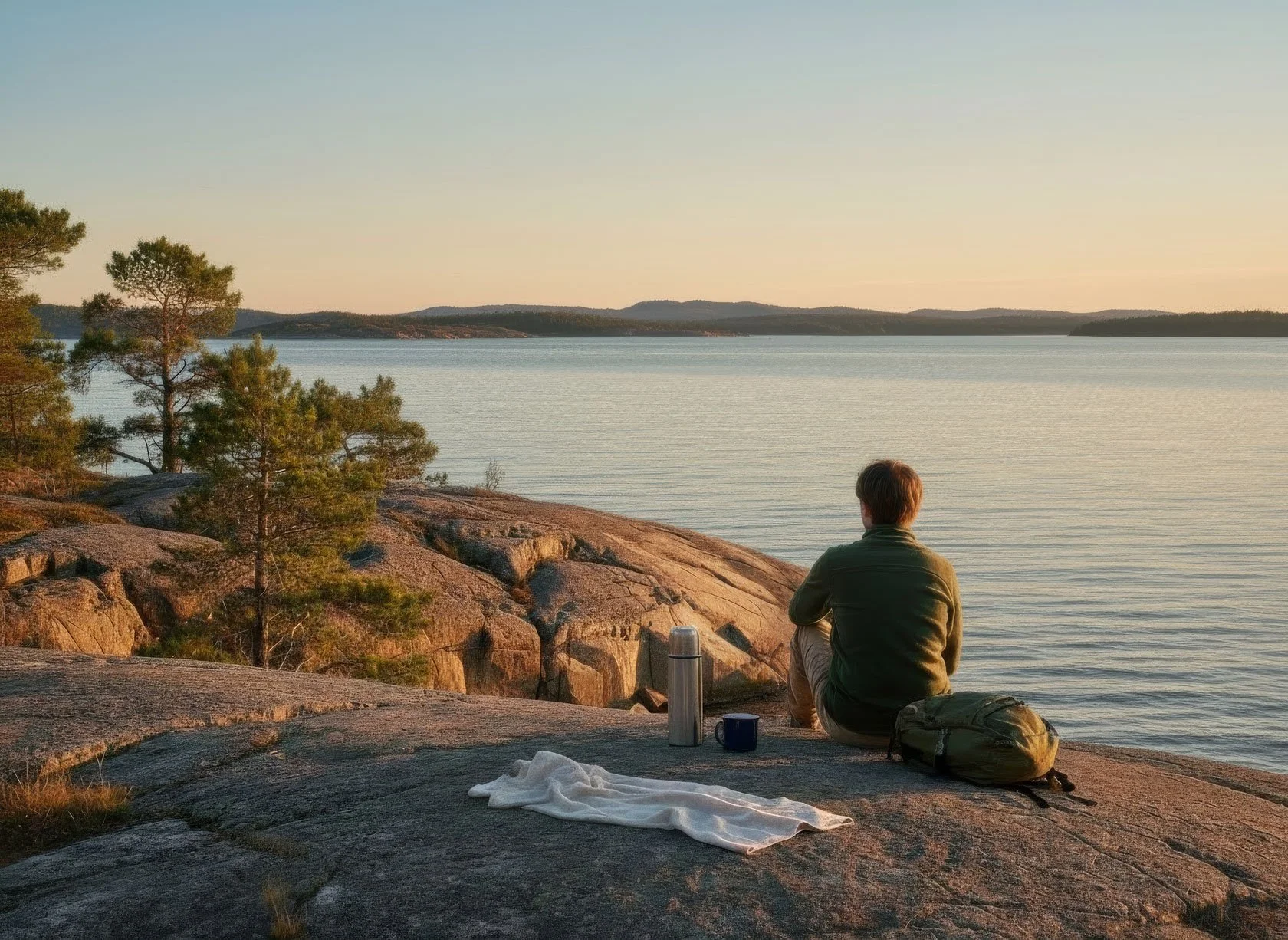
Workation Escape
Same Work. Cleaner Head. A Micro Work‑Break + Nordic Nature Resets
Workation Escape
Read more →
Workation Escape
Explore Höga Kusten
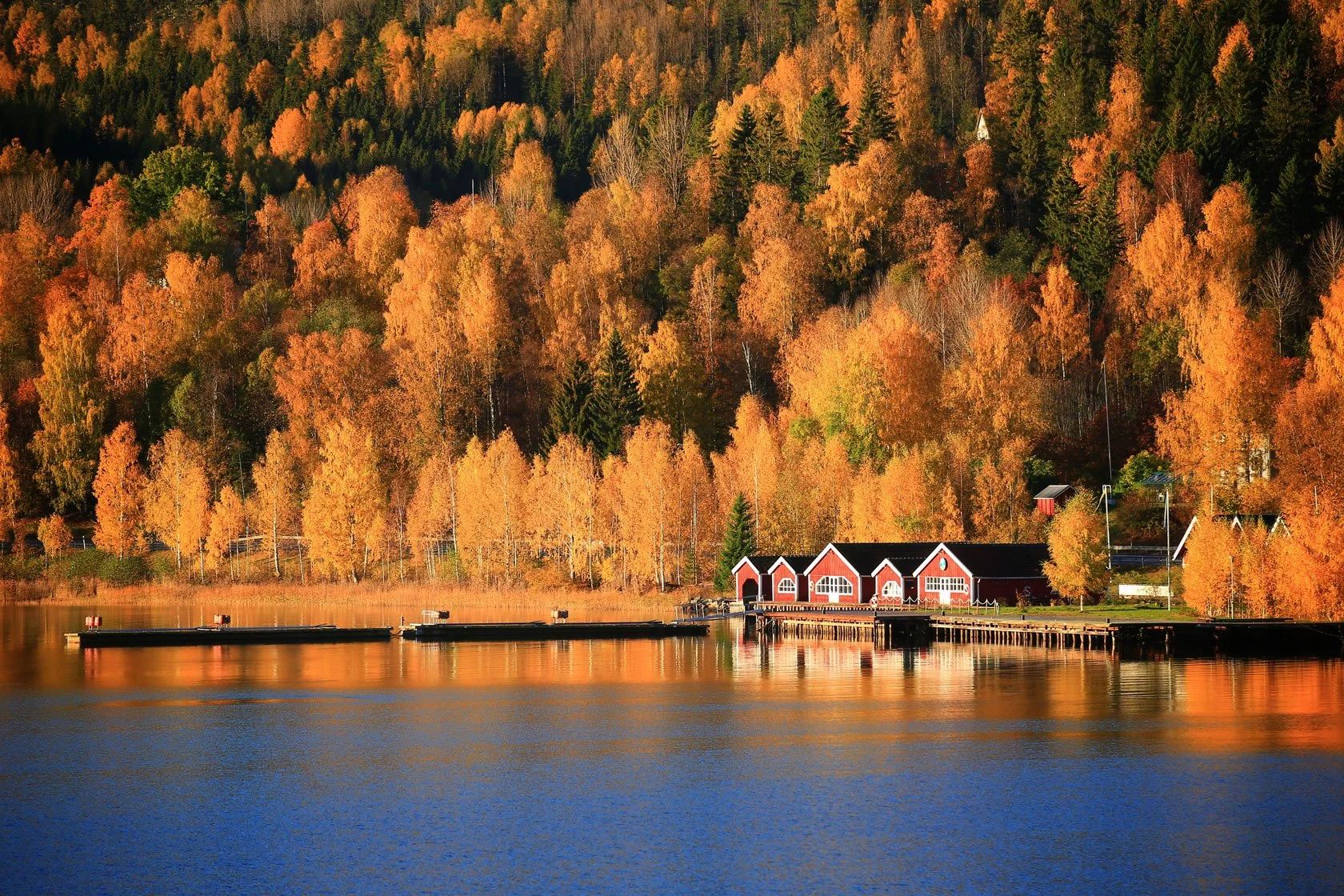
Autumn's First Whisper: When the High Coast Reveals Its Golden Soul
Explore Höga Kusten
Read more →
Explore Höga Kusten
Gear Rental
Cykeluthyrning i Höga Kusten (Docksta)
Gear Rental
Read more →
Gear Rental
Hiking
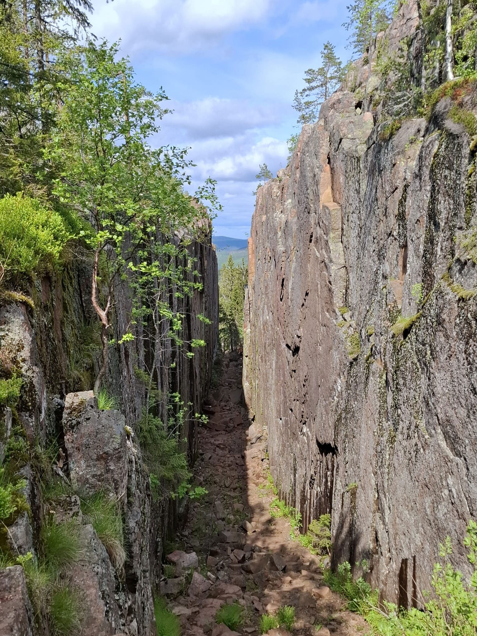
Skuleskogen National Park Day Hike Itinerary | High Coast
Hiking
Read more →
Hiking
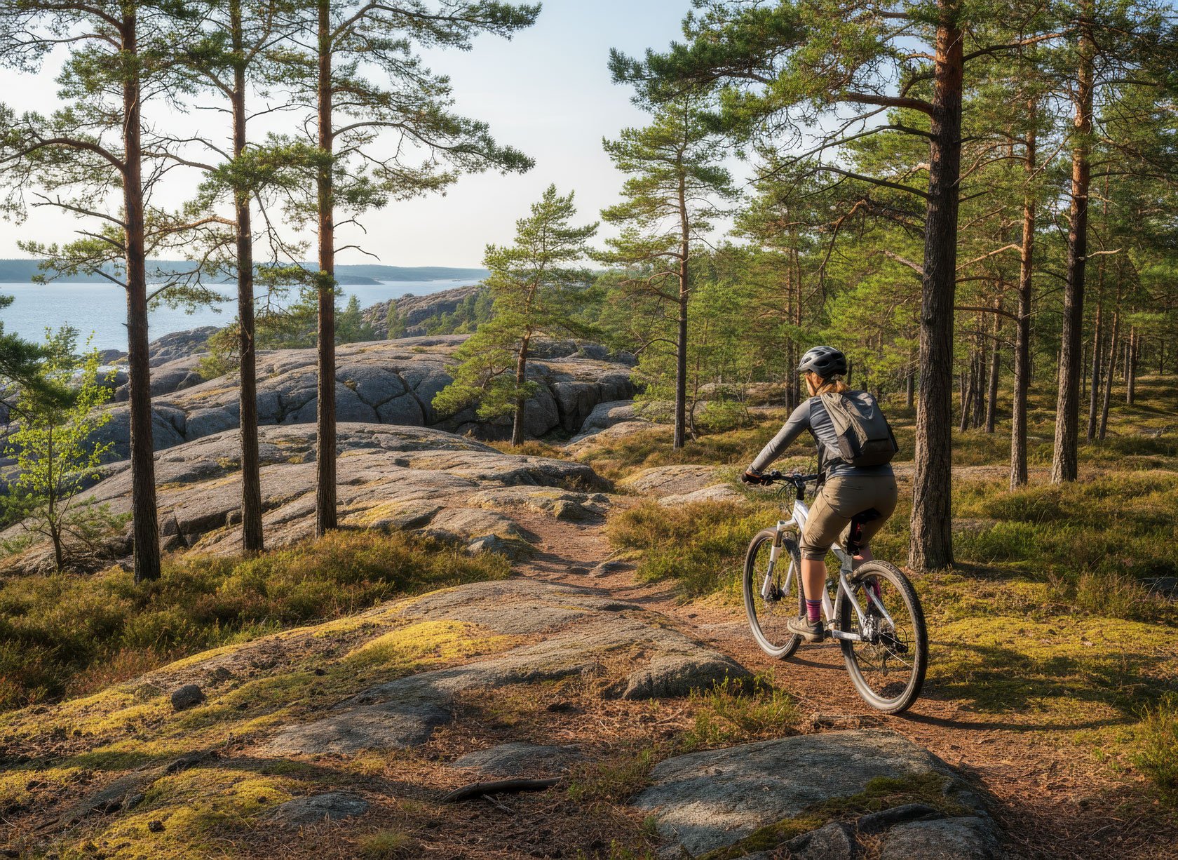
Biking
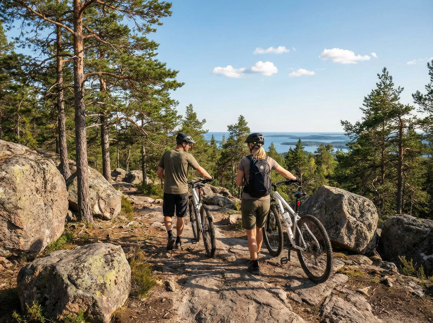
Bike Rental in Docksta (High Coast): 3 Bike + Hike Plans (Few Hours to Full Day)
Biking
Read more →
Biking
Sailing
High Coast by sailboat: safe mooring + hiking from the same base camp
Sailing
Read more →
Sailing
Workation Escape
Quiet Workation in Sweden’s High Coast: A Micro Work-Break in Docksta
Workation Escape
Read more →
Workation Escape
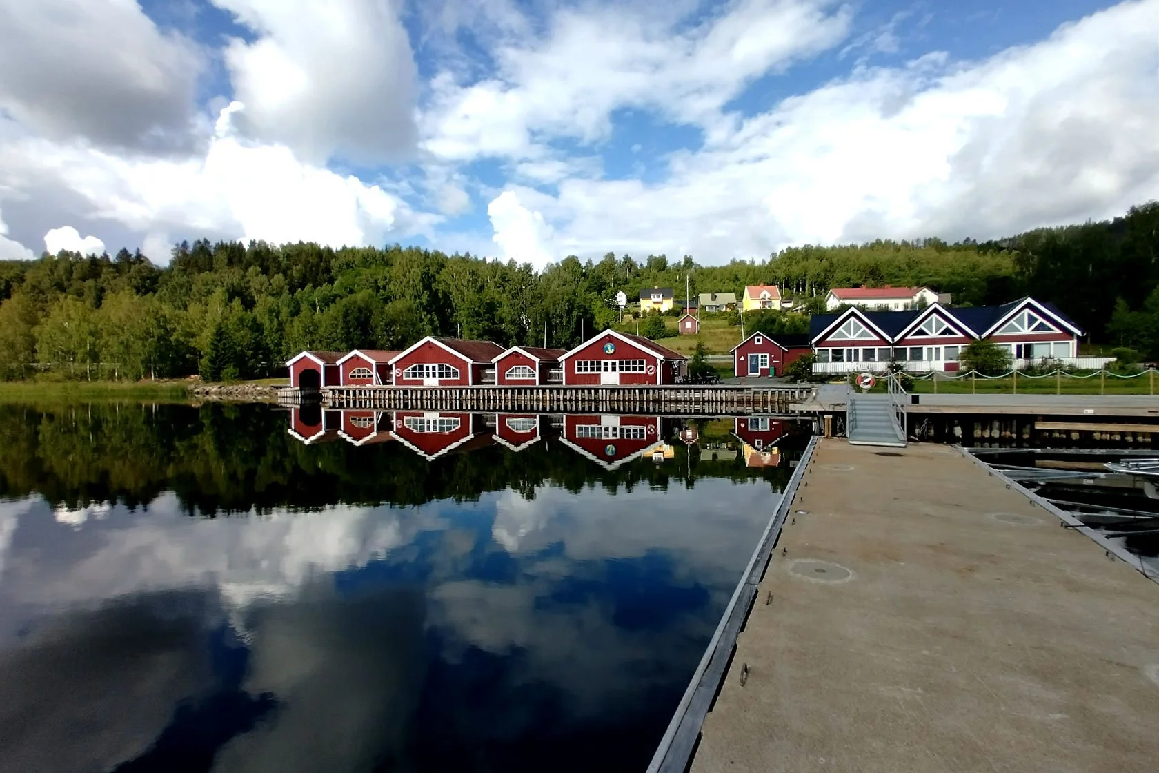
Seaside Stays
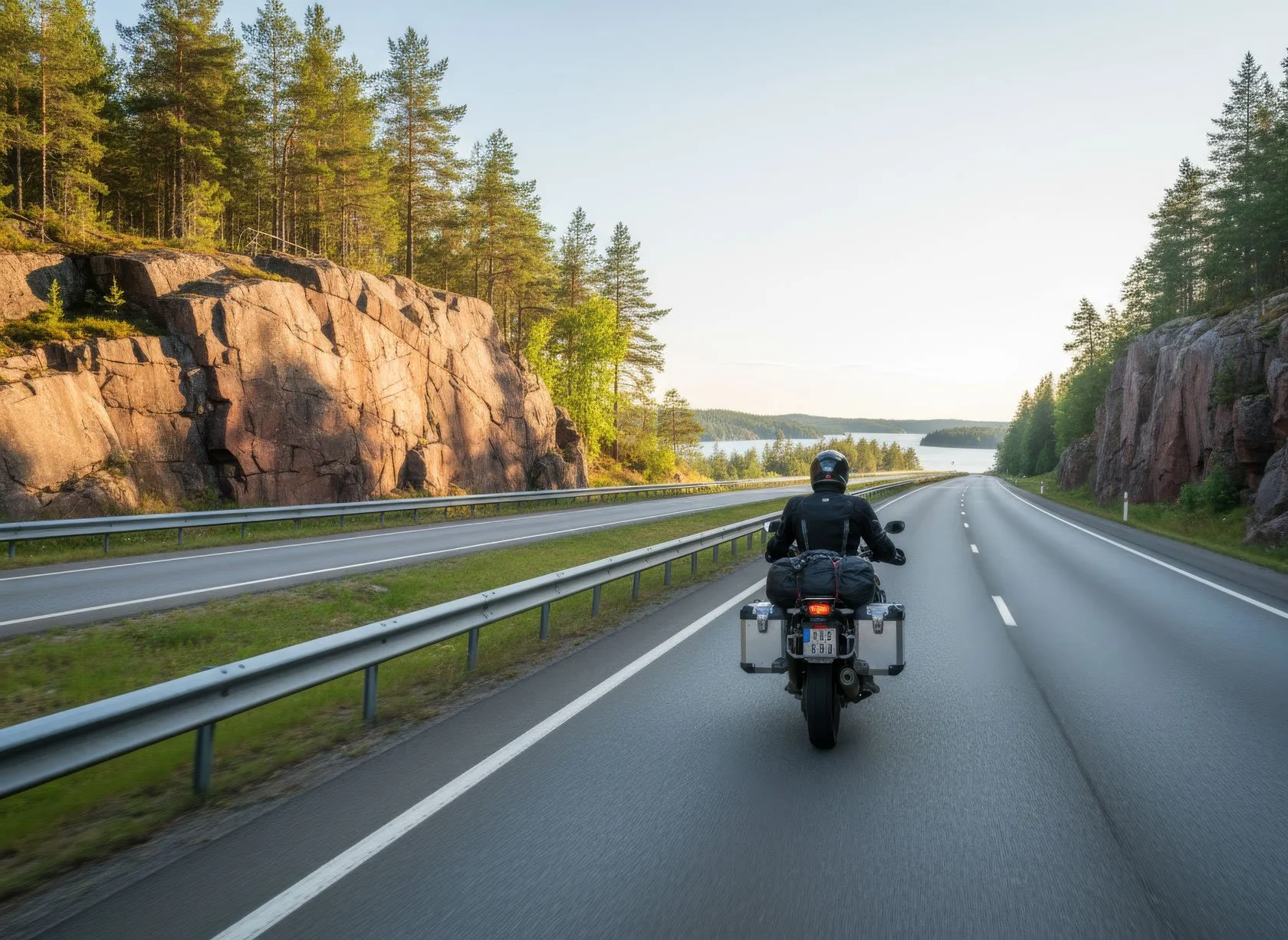
Northbound on the E4: Where Do You Stop Tonight with Your Motorbike?
Seaside Stays
Read more →
Seaside Stays
Hiking
Skuleskogen Nationalpark (Hochküste): Eingänge, die ikonische Runde und ein Tagesplan, der einfach funktioniert
Hiking
Read more →
Hiking
Hiking
Rainy Day in the High Coast: Real Talk
Hiking
Read more →
Hiking
Seaside Stays
E4 High Coast Stopover: Stop Differently in Docksta
Seaside Stays
Read more →
Seaside Stays
Biking
Bike from Docksta: Choose Your Mode (4 High Coast Days, Half‑day to Full‑day)
Biking
Read more →
Biking
Explore Höga Kusten
Docksta Base Camp Map: Your Guide to High Coast Adventures
Explore Höga Kusten
Read more →
Explore Höga Kusten
Explore Höga Kusten
Start Here: High Coast (Höga Kusten) Day Trips from Docksta
Explore Höga Kusten
Read more →
Explore Höga Kusten
Trail Running
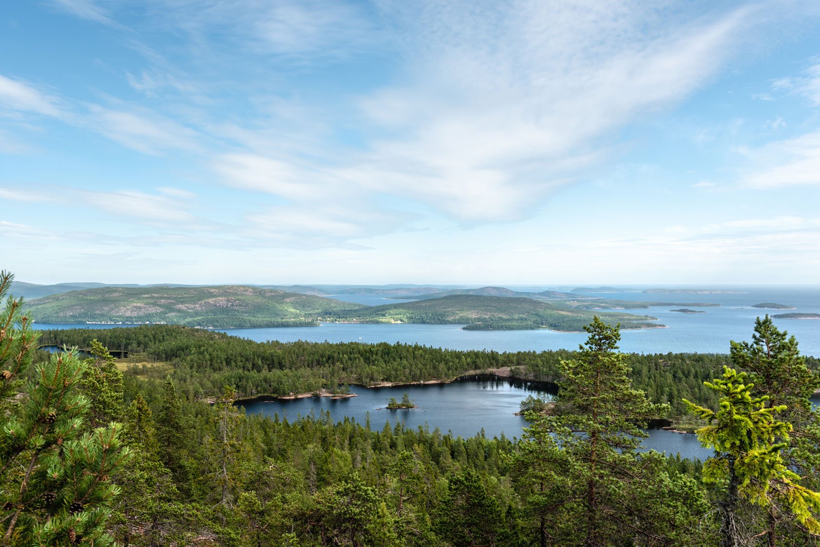
2 Trails, 1 Mountain: How Skuleberget reveals the secret of flow state
Trail Running
Read more →
Trail Running
Workation Escape
Jobba på distans i Höga Kusten: Micro Work-Break i två (före/efter semestern)
Workation Escape
Read more →
Workation Escape
Workation Escape
Work from the Heart of Höga Kusten. Before Holiday Begins.
Workation Escape
Read more →
Workation Escape
Trail Running
The Skuleberget #BIG5 Challenge: Where trail running meets nordic soul
Trail Running
Read more →
Trail Running
Gear Rental
Grab&Go: Arrive Without a Plan on the High Coast (Docksta)
Gear Rental
Read more →
Gear Rental